
Ordnance Survey Buxton
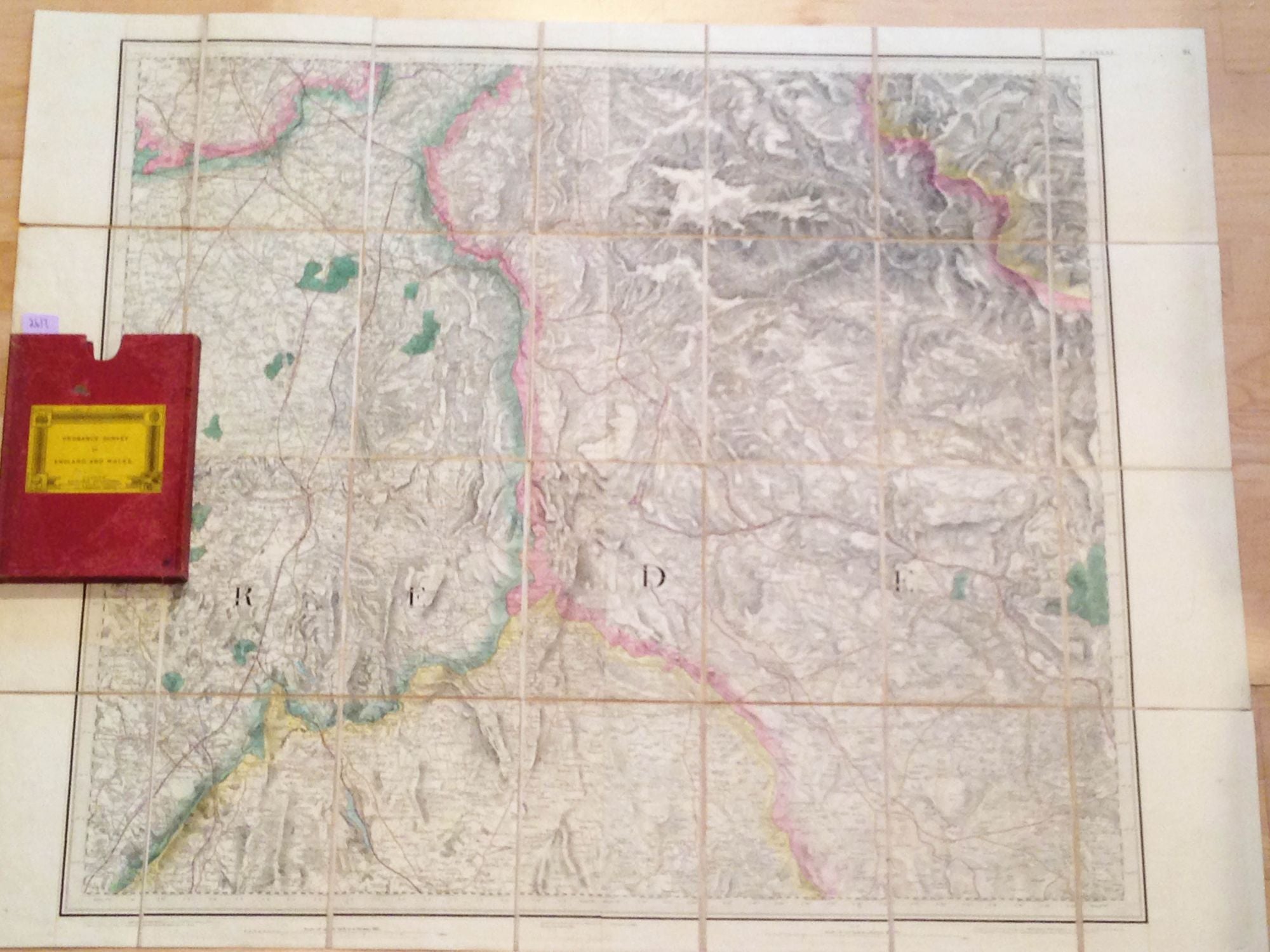
London: Edward Stanton, 1881. Soft cover. linen backed folding Ordnance Survey map of the area around Buxton ca. 4.5" x 6.5" folded and 26" x 34" unfolded. All with moderate wear in red cloth covered slip case. Pictures may show uneven brightness or color- this is shadowing in photography and not in the map. Very Good / No Jacket. Item #2617
Price: $13.00
See all items in
Cartography