
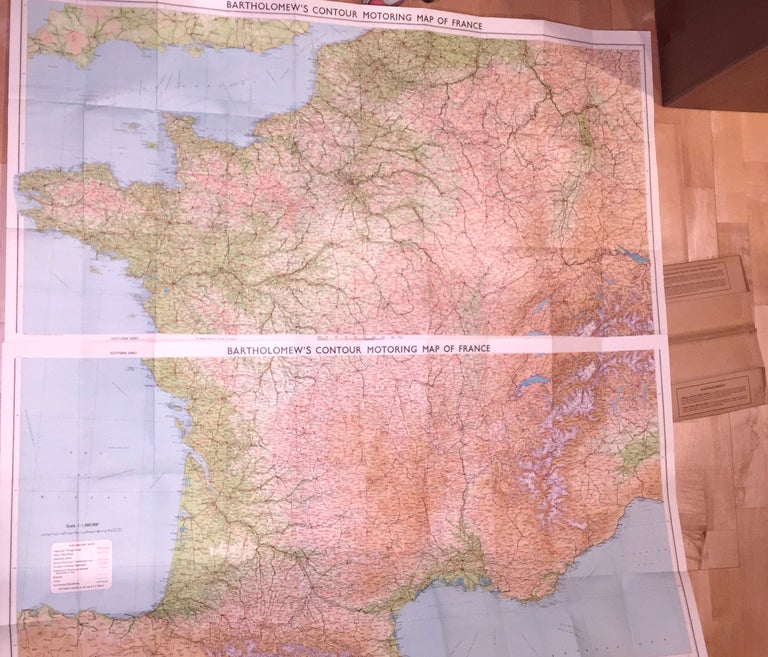
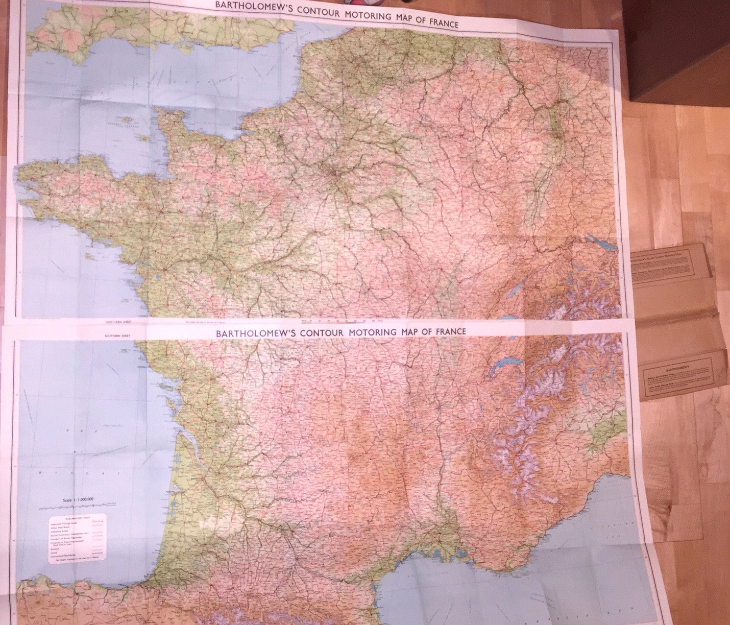
Bartholomew's Contour Motoring Map of France
Edinburgh: John Bartholomew & Son, 1960. Original wraps. fine map of France in two sections- northern and southern, linen backed and folded. Each section measures ca. 44" x 24" or about 44" x 48" when placed together. The two sections are placed in original printed brown paper folder. The maps are in fine condition and the folder is good- it has some small tears from use. There is no date given so 1960 is purely a guess. On the front cover of the folder the name "Brig. Gen. A. R. Kimball" is written with mention of some headquarters. The price printed on the front of the folder is six shillings. Perhaps its older than it looks. Fine / good. Item #3100
Price: $17.00
See all items in
Cartography
See all items by John Bartholomew