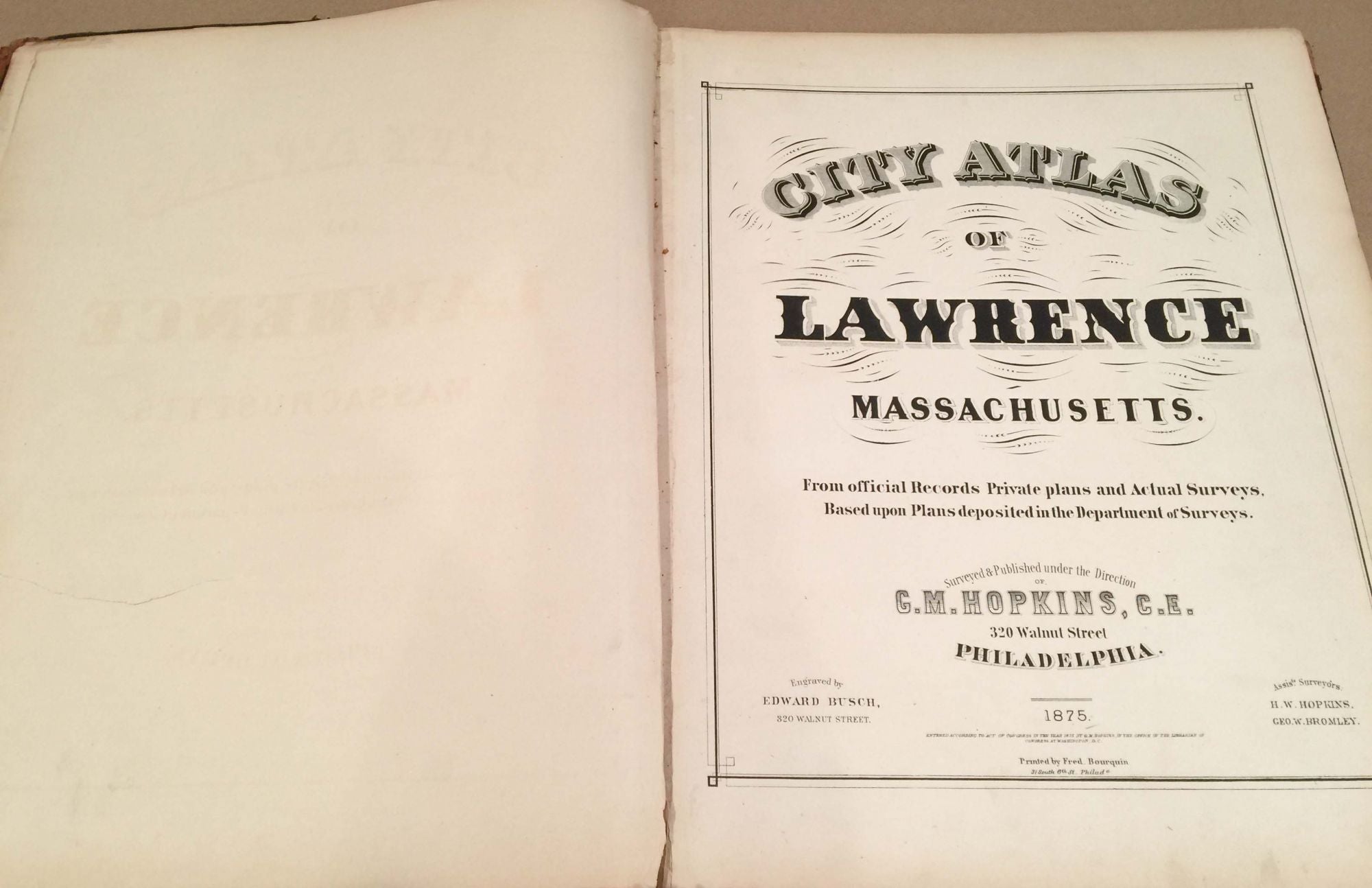
City Atlas of Lawrence Massachusetts
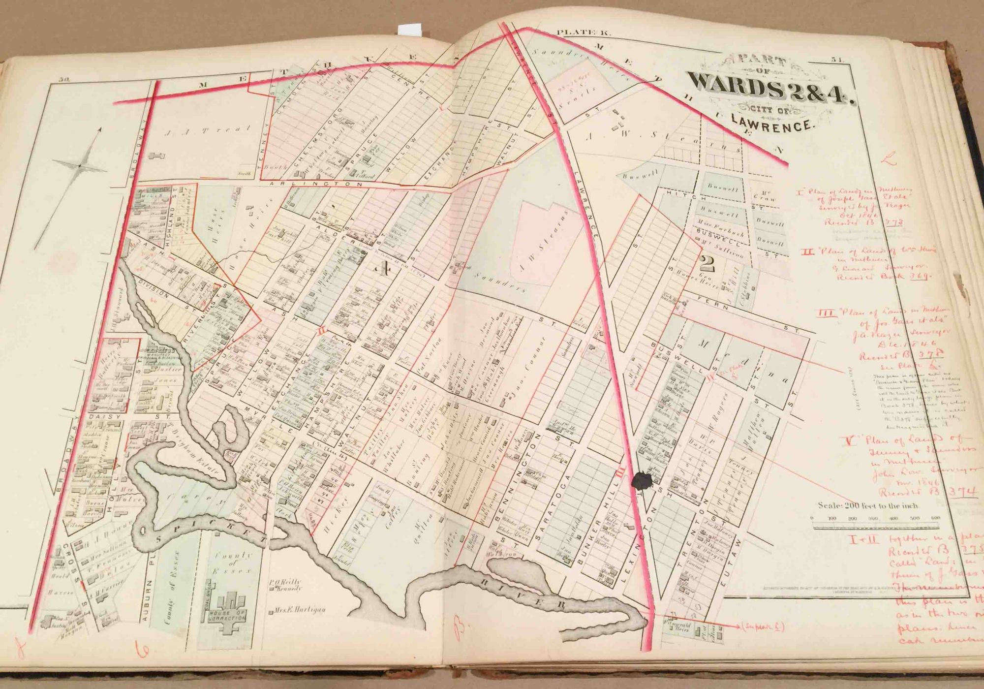
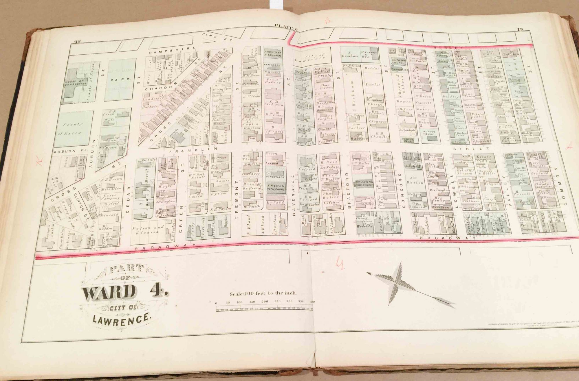
Philadelphia: G. M . Hopkins & co, 1875. First Edition. Hardcover. elephant folio, half bound in original leather with black cloth covered boards in fair condition with heavy wear from use over the years, but covers still attached, but binding a bit weak, contents good with good color on maps but moderately soiled from use- mainly at lower corner. Paper for text pages a bit brittle, but paper for map pages seems better quality. There are 17 maps present. The tabl of contents calls for 17 but does not mention the first map which is the outline map of the whole city and the last map "from Merrimack River to City Line..." is missing. All the maps are double page except the outline map which is single page. The page numbering is such that there may be a leaf missing from the front matter- between the title page and the table of contents. Most of the maps are in very good condition with good color, but all are age toned a bit and several have ink blotches in either red or black in a spot or two which might be deliberate. There are red ink markings on some maps- generally not obtrusive, one map has extensive writing in red and black ink suggesting the map was used for some land use planning or perhaps property disputes. Overall a scarce survivor even though missing a map and possibly a text page. Fair. Item #3271
Price: $217.00