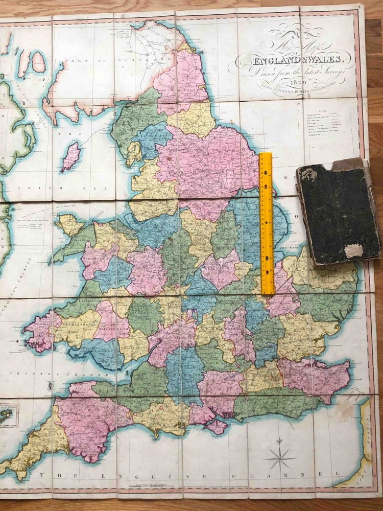
New Map of England & Wales Drawn From the Latest Surveys 1820
London: I. Bumpus, 1820. Cloth. folded linen backed map with good coloring from 1820. When open the map measures ca. 31" x 40" ( 76 x 101cm).
It has moderate soiling and wear and a number of brown spots, a couple of folds have tears to the linen, but it is still held together well. A few of the brown spots are larger and can be seen on the photo. The slipcase for the map is present but in poor condition- it seems likely the map saw lots of use. Good / poor. Item #3321
Price: $213.00
See all items in
Cartography
See all items by I. Bumpus