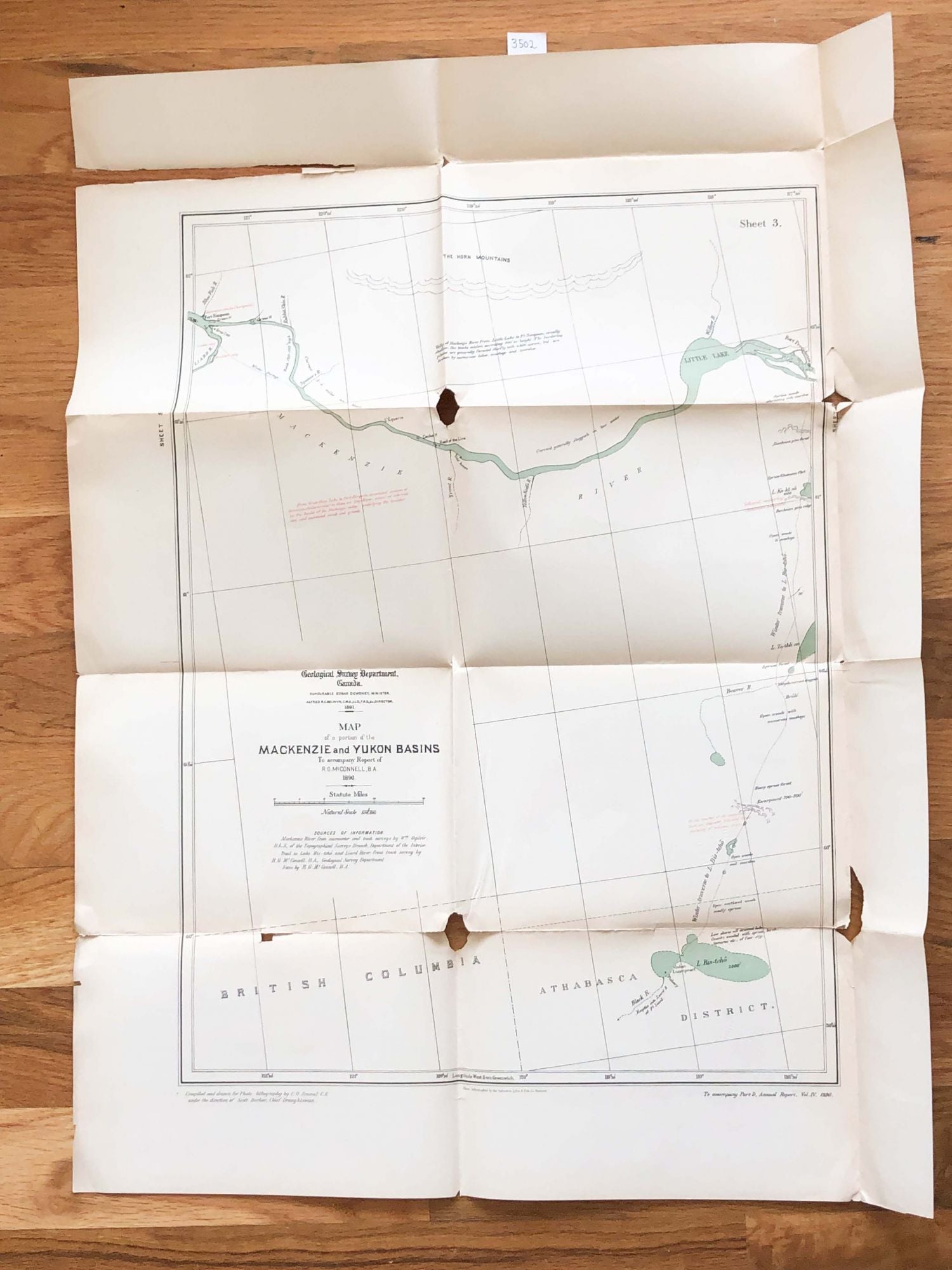
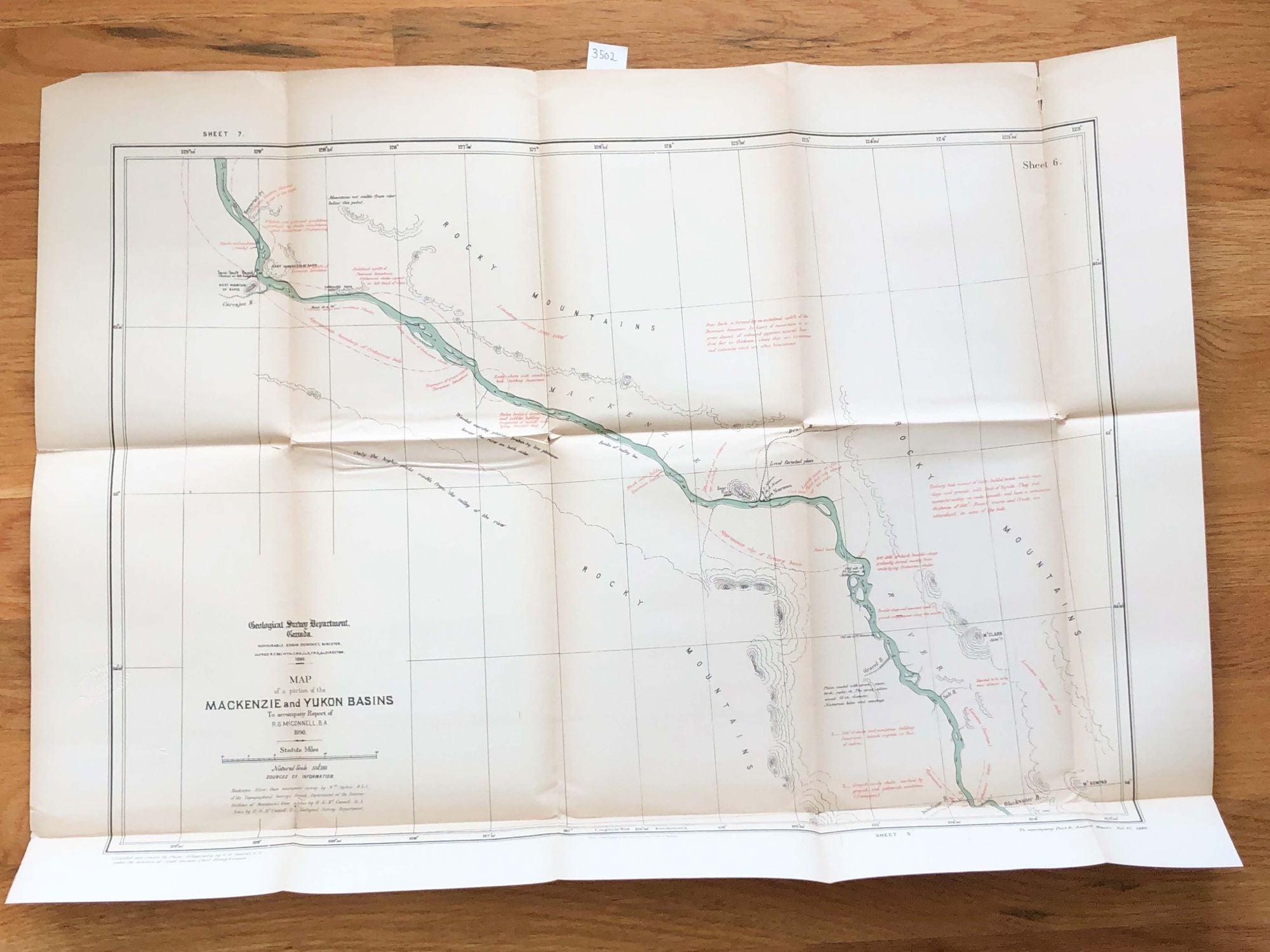
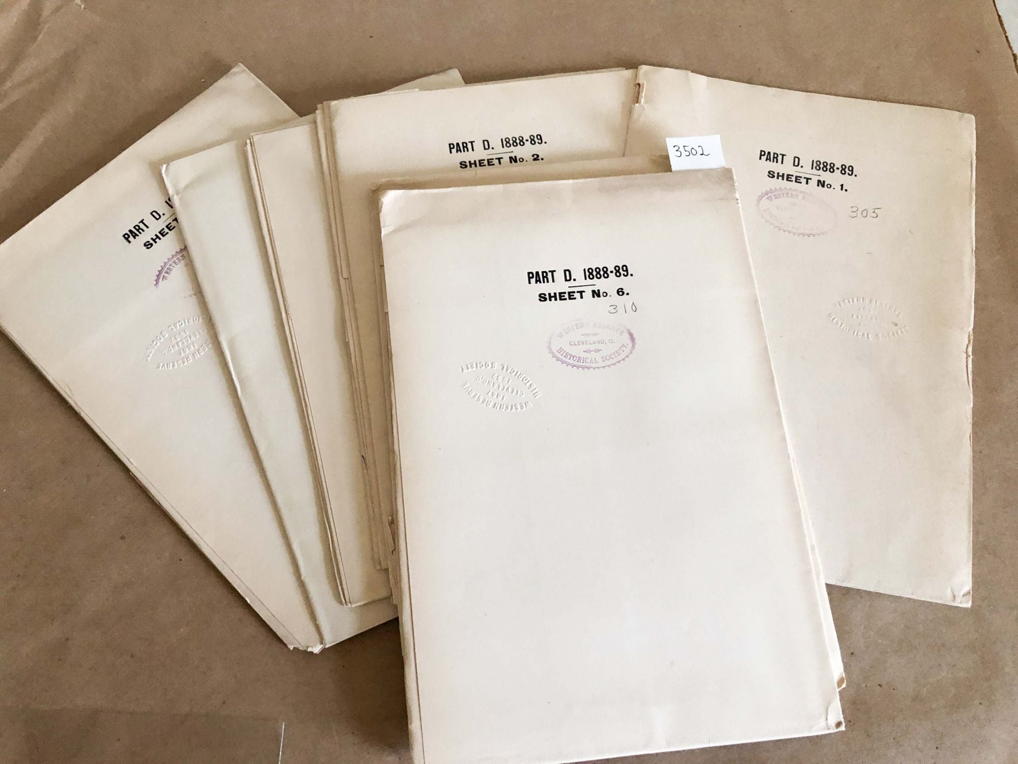
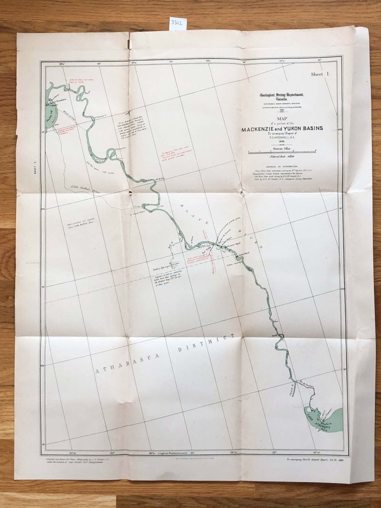
Mackenzie and Yukon Maps 1891 in 9 sections Part D annual Report to accompany Report of R. G. McConnell 1890
Montreal: Geological Survey of Canada, 1890. First Edition. unbound. 9 sections, each folded to ca. 7" x 10 ", and opens to ca. 20" x 24" colors generally good, there are tears along folds and small holes at corners of fold that vary from very small to quite obvious- sect 3 map may be worst. Paper is also aged toned unevenly which shows near folds especially, condition varies from section to section generally fair to good.
The maps are x-library- there are ink stamps on the back of each for the Western Reserve Historical Society. It is unlikely they were circulated. Note: due to size and weight, shipping outside the USA or priority shipping may cost less than an average book. Combined shipping may reduce costs. Fair. Item #3502
Price: $128.00