
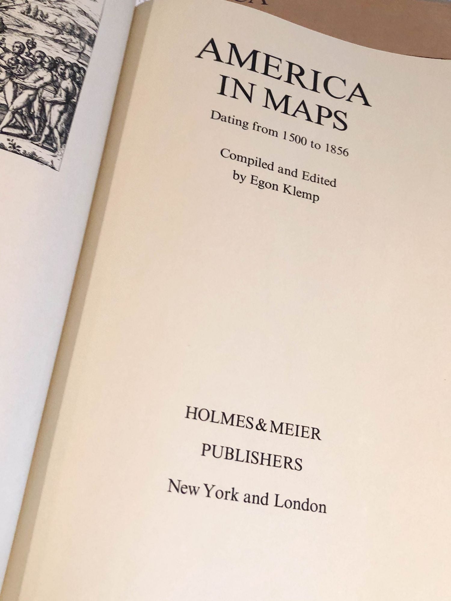
America in Maps Dating from 1500 to 1856
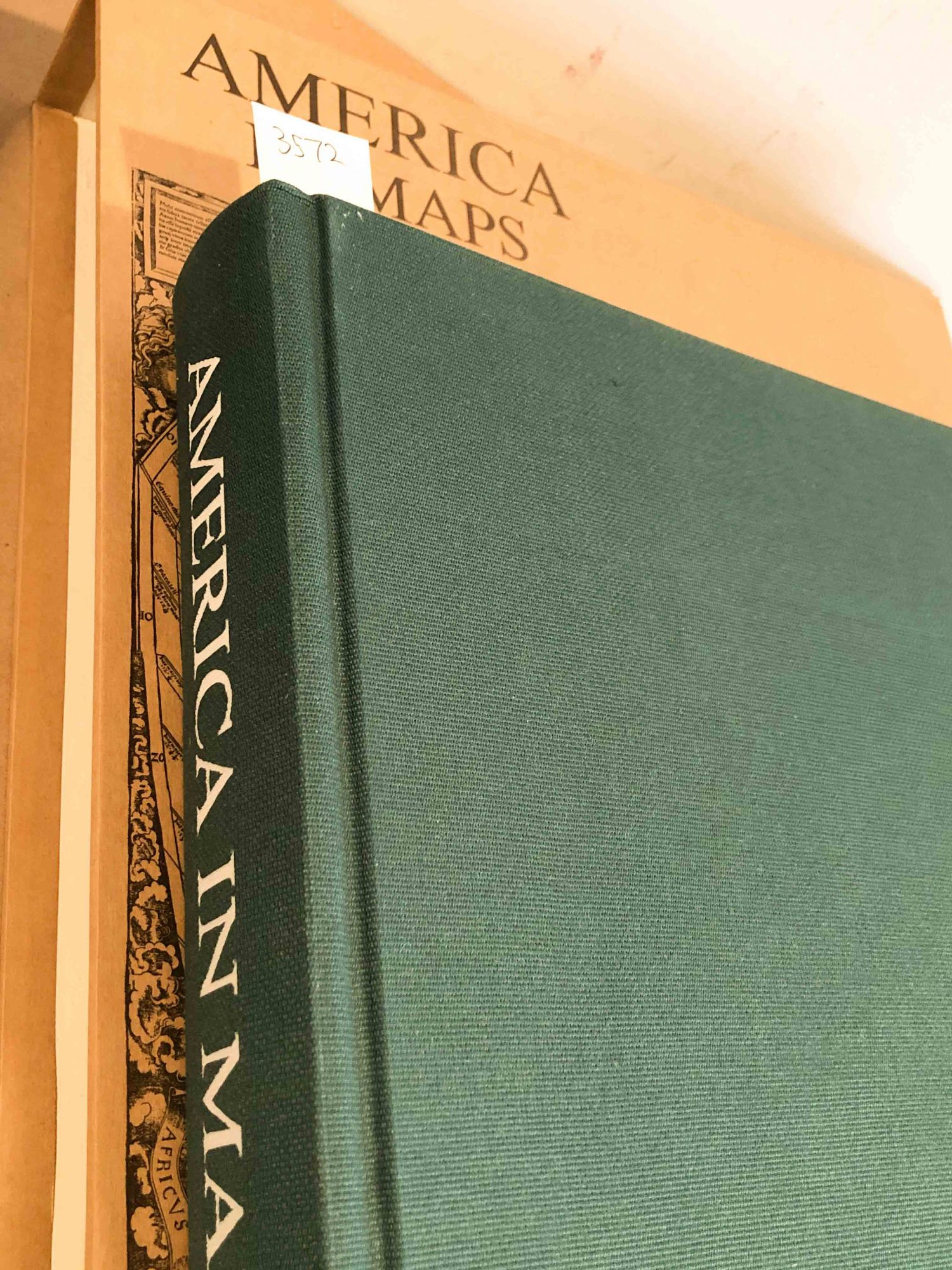
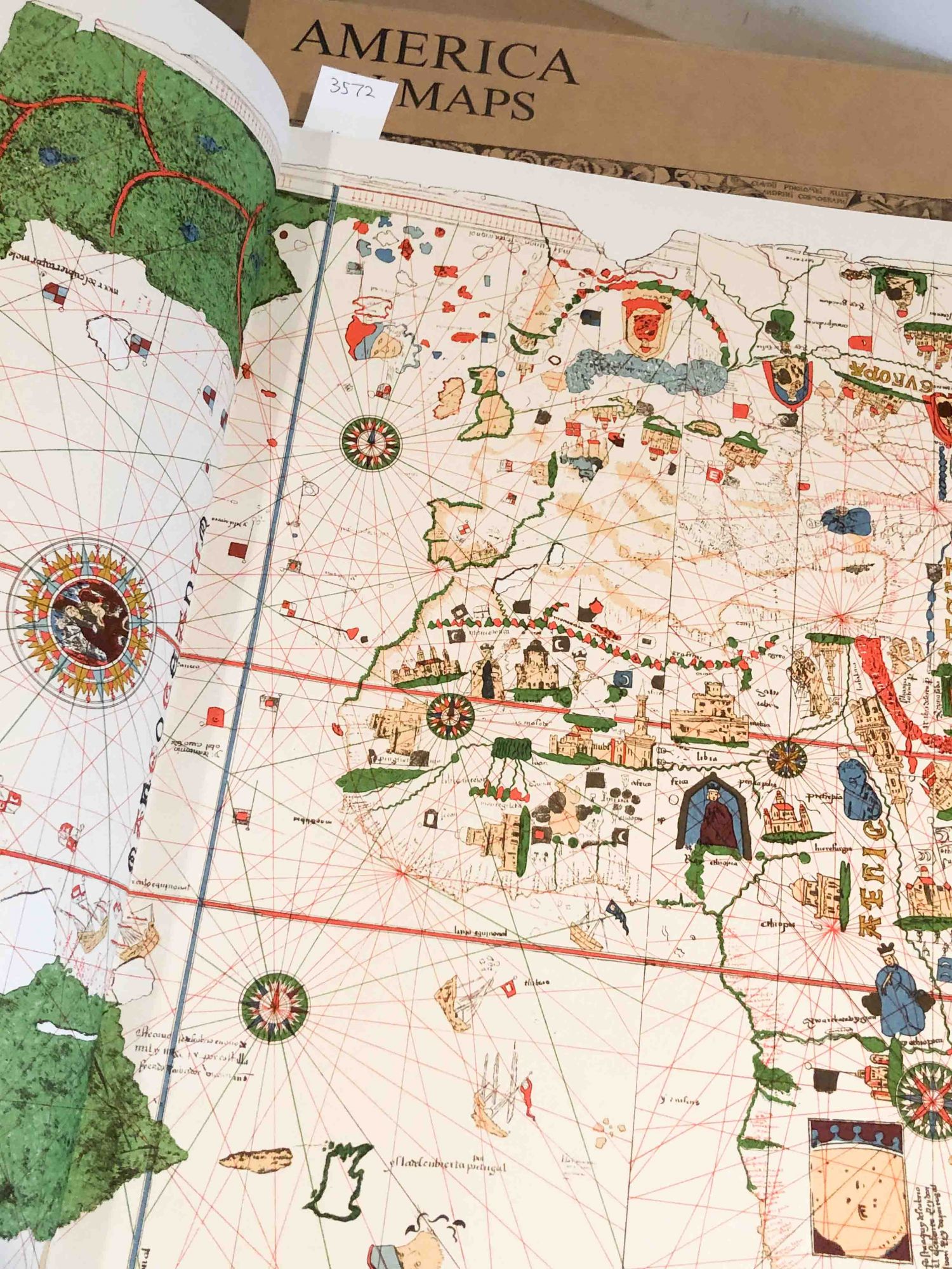
New York: Holmes & Meier, 1976. First Edition. Hardcover. elephant folio, bound in original green cloth covered boards in fine condition, maybe a little dust. Contents fine with reproductions of 76 maps of the Americas. Many maps are b&w while many are color. Colors bright. pp. 293 including maps and descriptions of maps and index. Overall, fine copy. No owner names or bookplates inside. The book is copy 391 of 1200 and is housed in a slipcase with printed world map glued to case. Case is slightly warped, but otherwise fine. There is no dustjacket (issued this way), we are calling the slipcase a dust jacket. The book and slipcase will be shipped in original publishers shipping box. This copy has only been out of its box for inspection and photos. Due to the size and weight, overseas shipping or priority shipping within the USA will more expensive than an average book. Fine. Item #3572
Price: $340.00