Profiles of Asia and Asia Independent Series of School Maps 1860
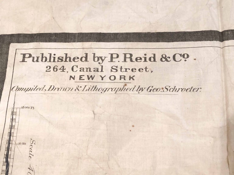
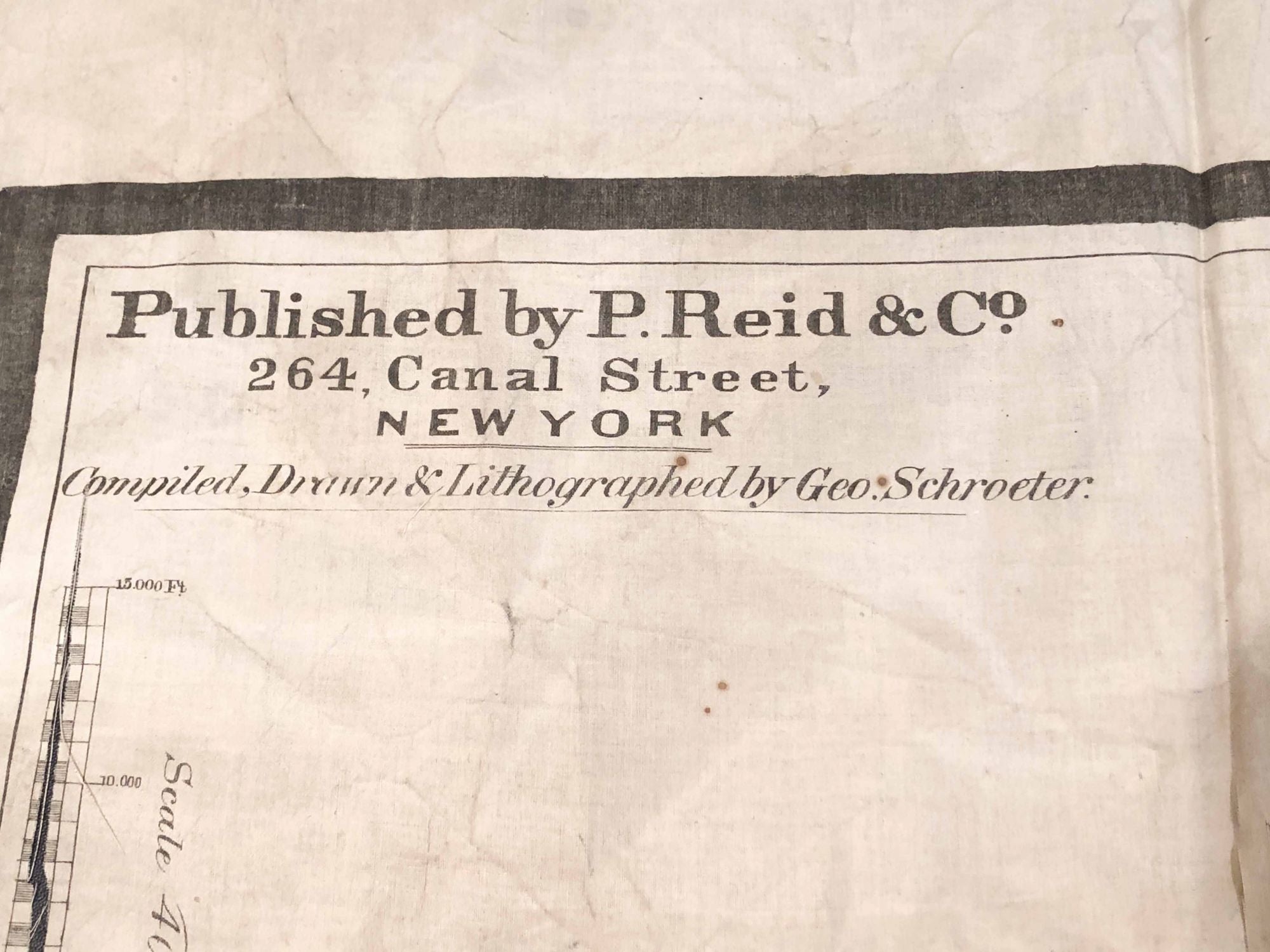
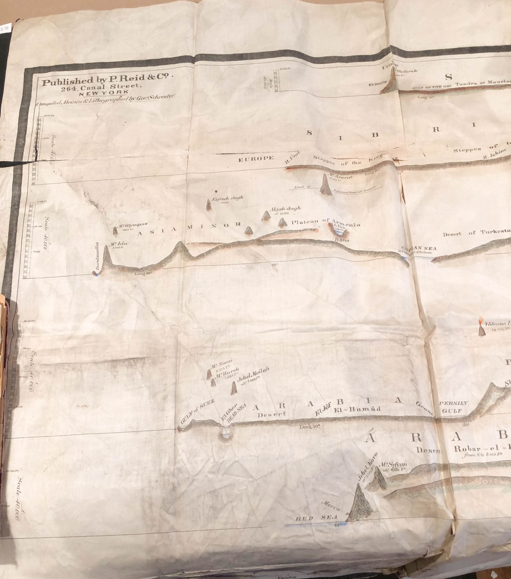
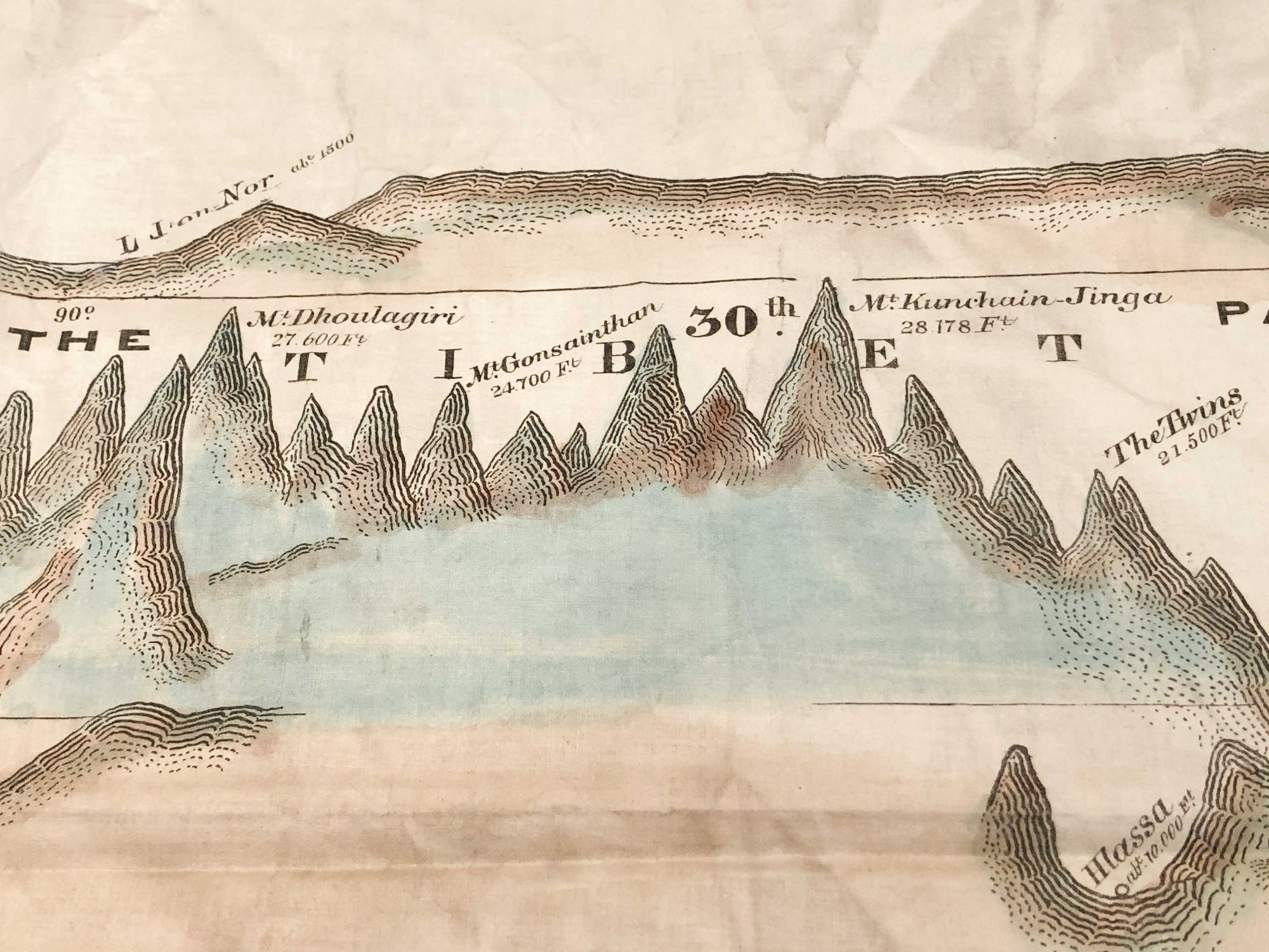
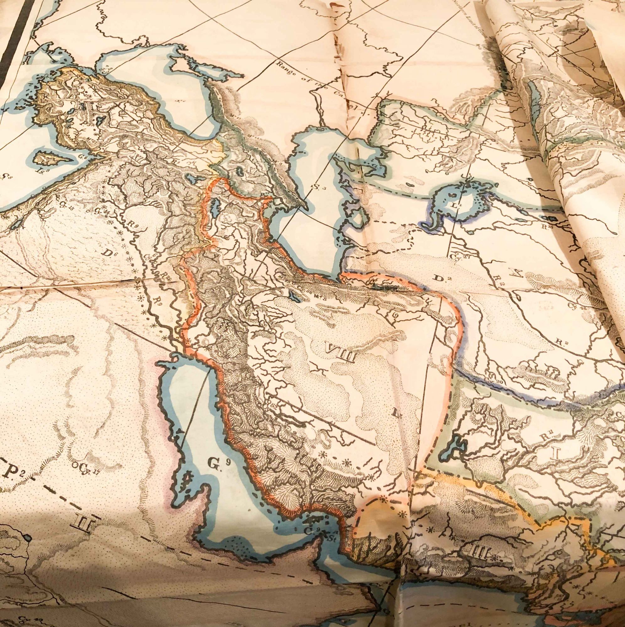
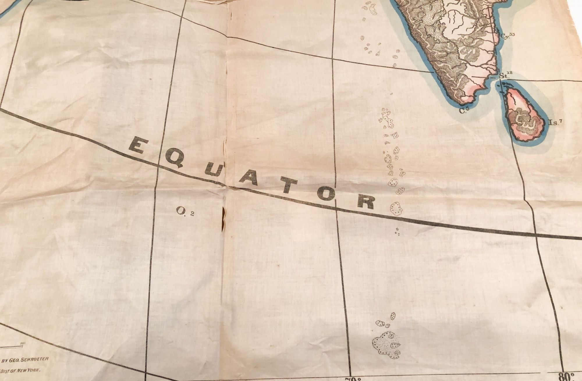
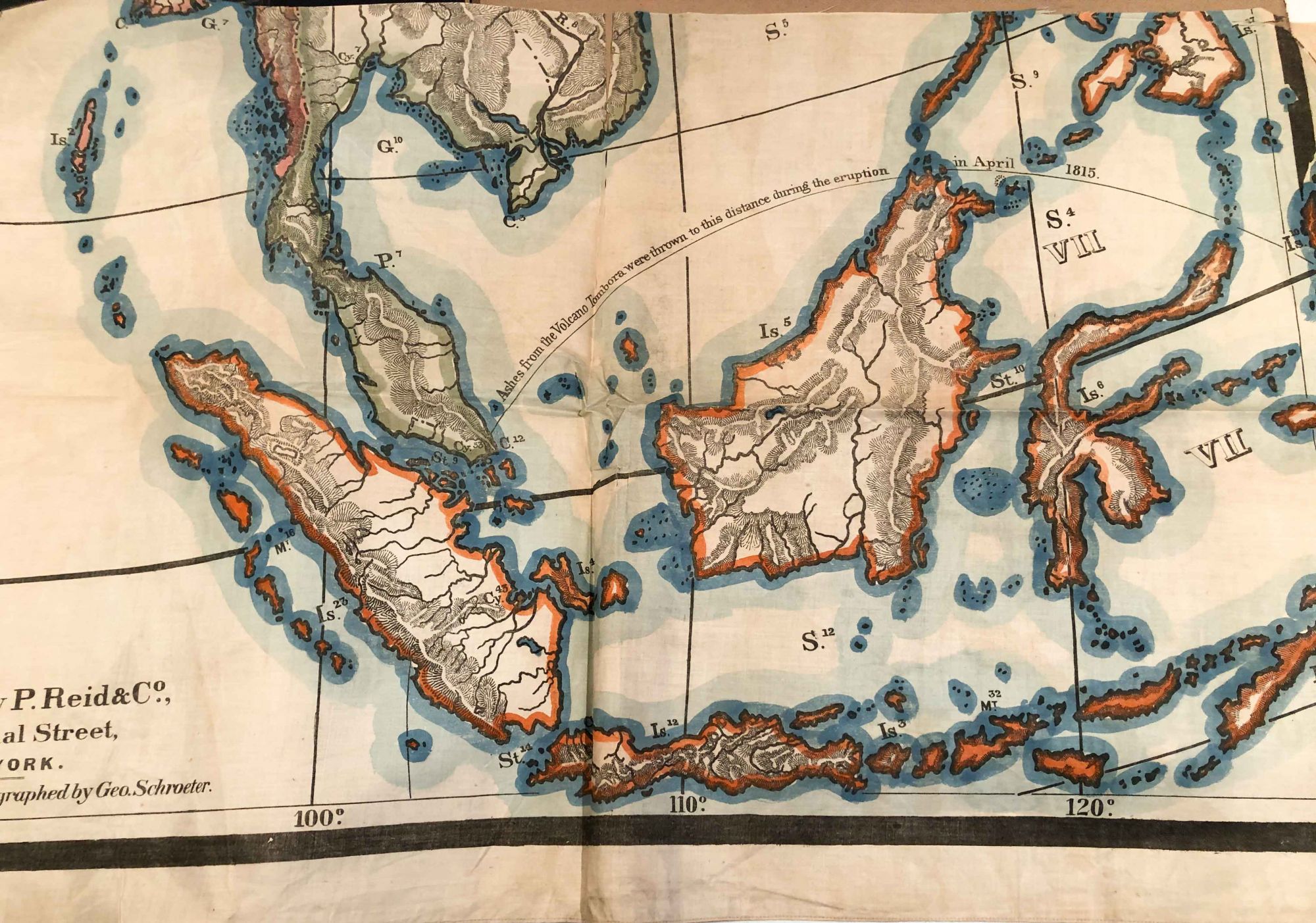
New York: R. Reid & Co., 1860. First Edition. unbound. two very large maps on silk ca. 42" x 92" ( 106cm x 233cm) for Profiles of Asia item- it shows a series of cuts across Asia indicating how the terrain varies. For the Asia map it is ca. 76" x 94" (193ca x 238cm) They are on silk that is quite deteriorated from age and exposure so both of these are in smaller parts - 6 to 8 for each. They have been folded for a long time and are torn along some of the folds. In addition, some smaller pieces are likely missing, but nothing large missing. Very interesting to examine. Material is age darkened and soiled, but quite good to look at. There is color and it is faded, but still quite pleasant. Overall, in poor condition, mostly present and scarce. As the title says, these were made for use in schools and there are some remnants of rings and ties for hanging these on a wall. These will be shipped folded. Due to the size and weight, overseas shipping may more expensive than an average book. Poor. Item #3583
Price: $234.00