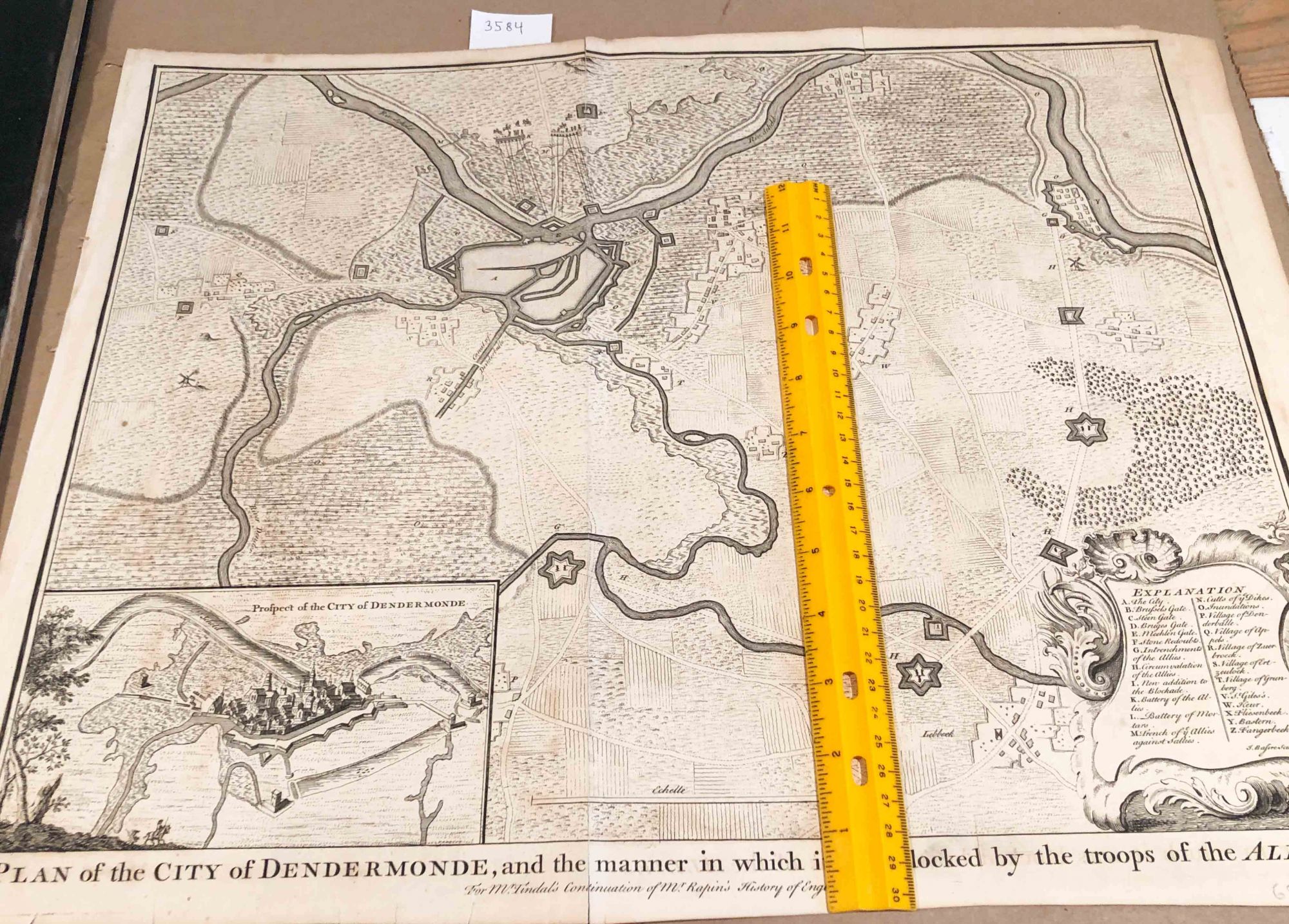
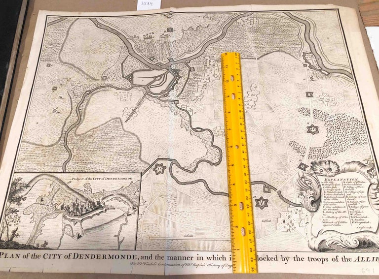
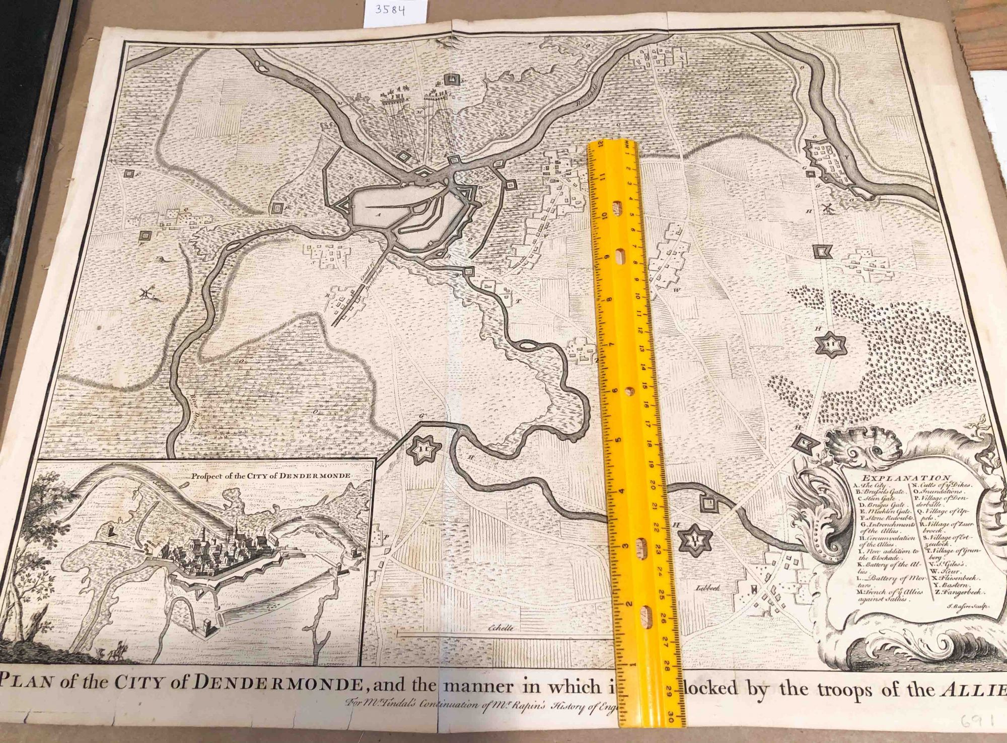
Plan of the City of Dendermonde and the Manner in which it was blocked by the troops of the Allies (map 1750)
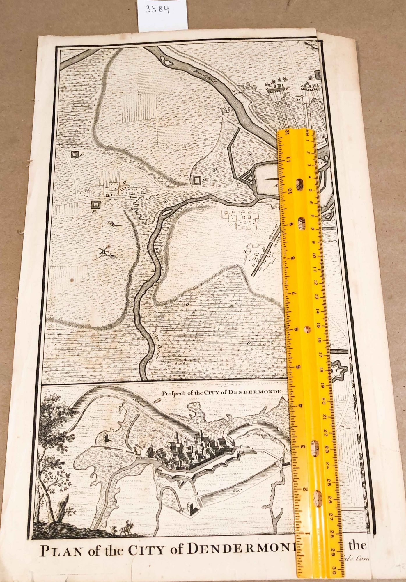
London: 1750. Early Edition. unbound. Paper map or plan ca. 40cm x 51cm paper size removed from an edition of M. Tindal's Continuation of Mr. Rapin's History of England (stated on plan title) Date not stated, but estimate 1750. Overall, in good condition, with age browning of paper, some soiling some small closed tears near edges, pencil marks by someone at lower right edge of paper. Clearly excised from one of the volumes of the History. This will be shipped folded along the original folds from when it was in a book, as such it will be oversize in one direction. Due to the size, overseas shipping may more expensive than an average book. Good. Item #3584
Price: $26.00