
Seven Ordnance Survey maps 1813 1843 in slipcase
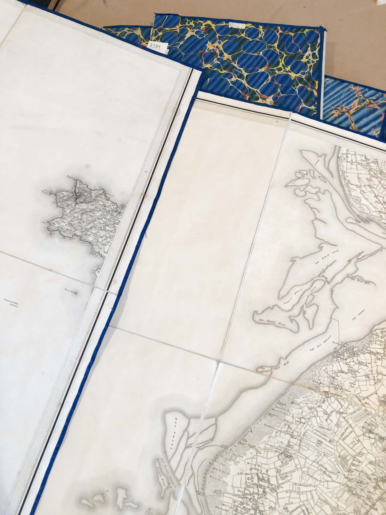
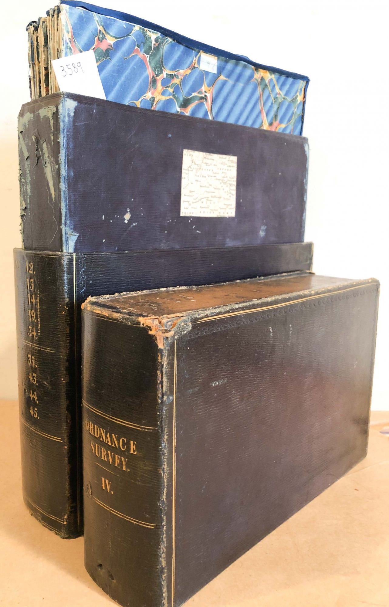
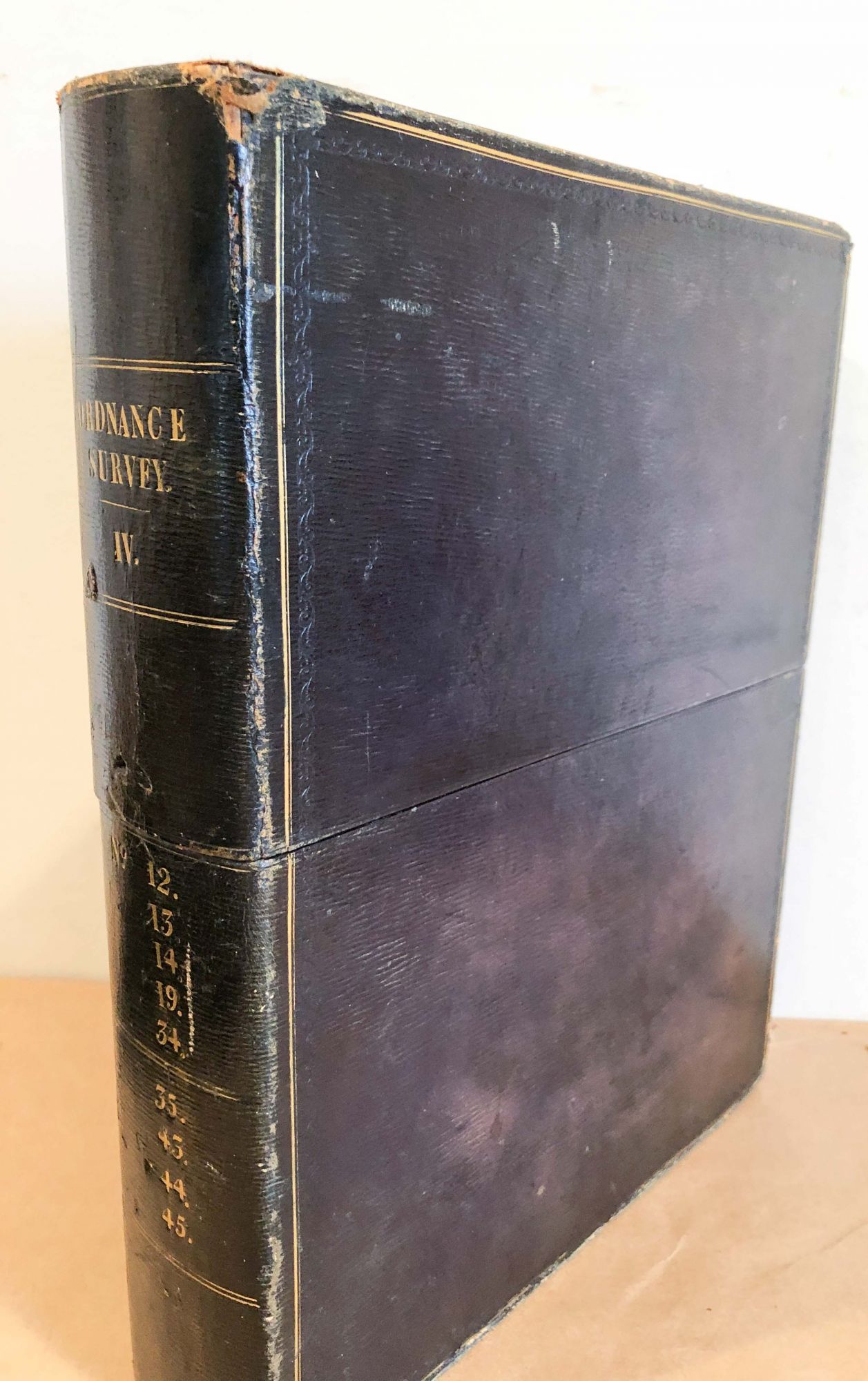
London: Ordnance Survey, 1833. First Edition thus. Hardcover. tall quarto slip case - small folio ca 11" x 14" leather bound box very nicely made and in good to very good condition made to look like a book, has gilt numbers on spine and gilt or bronze edges, Contents are 7 sections or partial sections of survey maps with dates 1813 - 1843. These sections were elegantly linen backed and made to look like sections of a book with marbled paper on exposed sides and blue cloth around edges of each map section. Some of this cloth is loose or lacking. Most of the sections have a number corresponding to which survey map it is from or the whole section it is. There are numbers on the spine of the slip case which correspond to some of the maps but not all- it is likely there were several such boxes and the maps were mixed over time. The maps are:
45 Oxford - Bucks 1833 ca. 24" x 30 " , 44 ca. 24" x 30 " 1828 , 87 N.east corner only ca. 14" x 18" n.d., 87 whole page ca. 25" x 36" paper size, 32 ca 25" x 36" 1813 bit of Cornwall, 77 ca. 18" x 25" n.d. bit of cornwall, 90 ca 25" x 36" 1843. No bookplate or owner names noted. Note: due to size and weight, shipping outside the USA or priority shipping will be more expensive than an average book. Good. Item #3589
Price: $128.00