
National Survey Map of New England
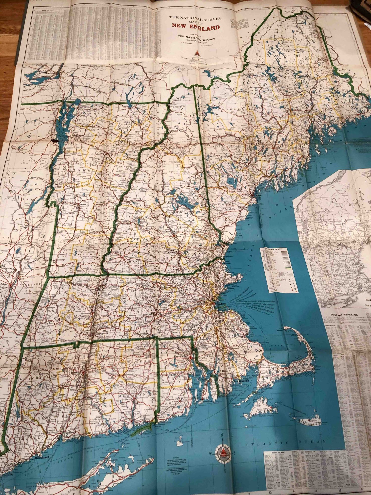
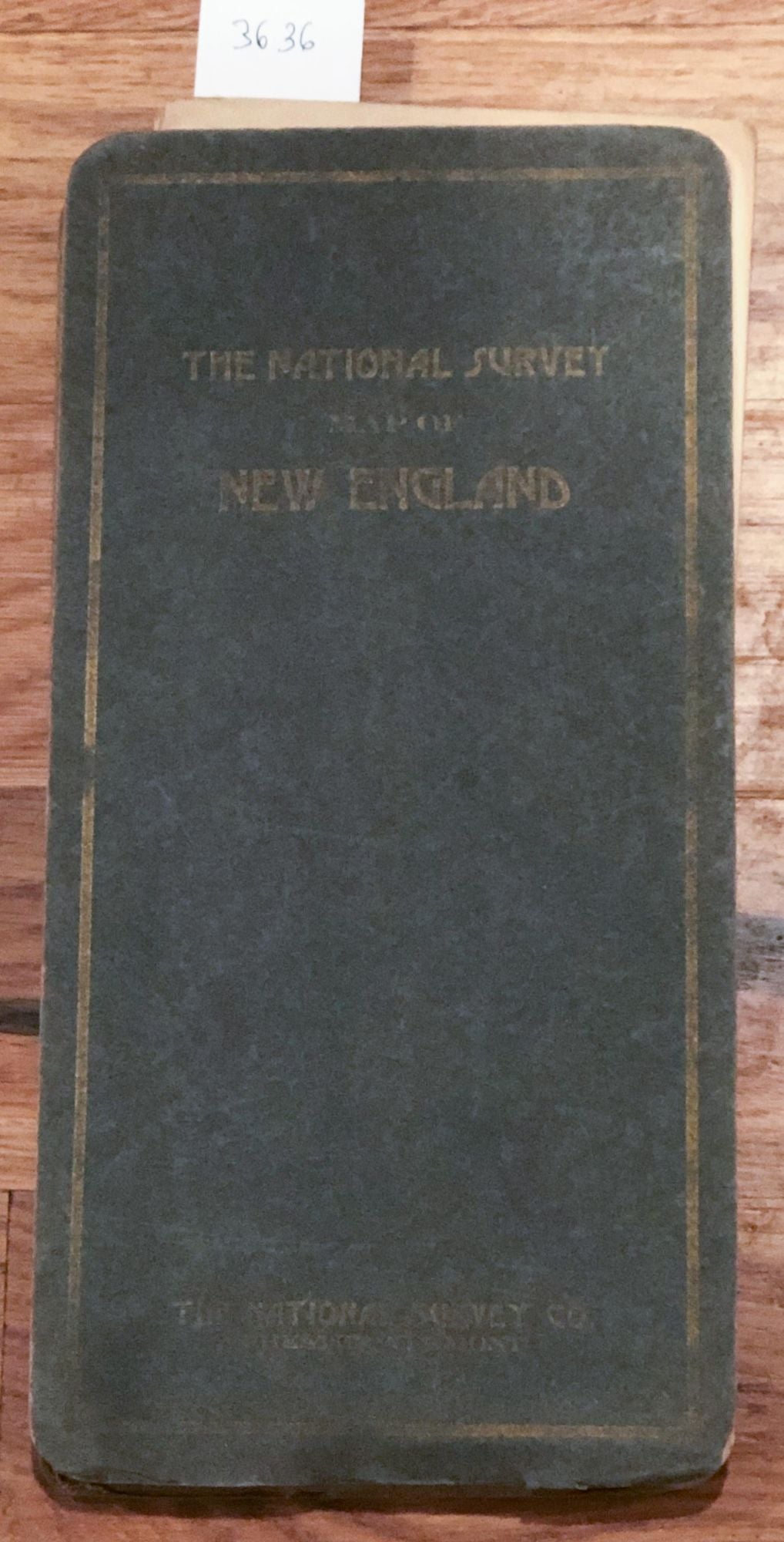
Chester: National Survey Co., 1937. First Edition. Cardboard covers. large paper folding map of New England ca. 46"H x 35"W . Color is good, there are some holes at corners of folds. Paper is age toned. Map is bound in stiff gray card covers with moderate wear and soiling. There is a blindstamp of a library in one coner of the map, so it is x- lib, but not much used. Overall, very good copy of this relatively early map showing roads of the states. Lots of other information around the map. No publication date found, but estimate 1940 base on some roads not present. Good +. Item #3636
Price: $13.00
See all items in
Cartography
See all items by National Survey Co