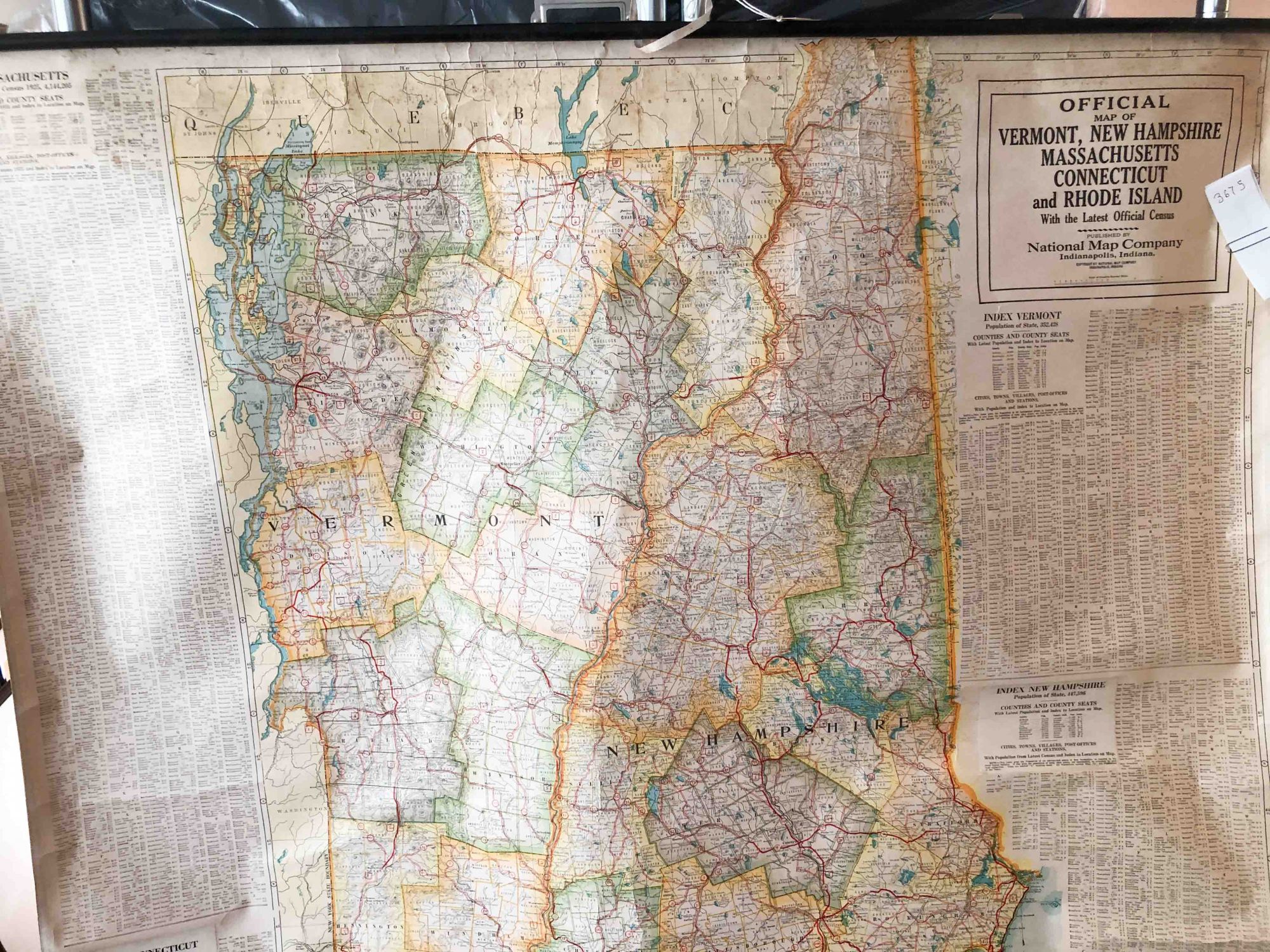
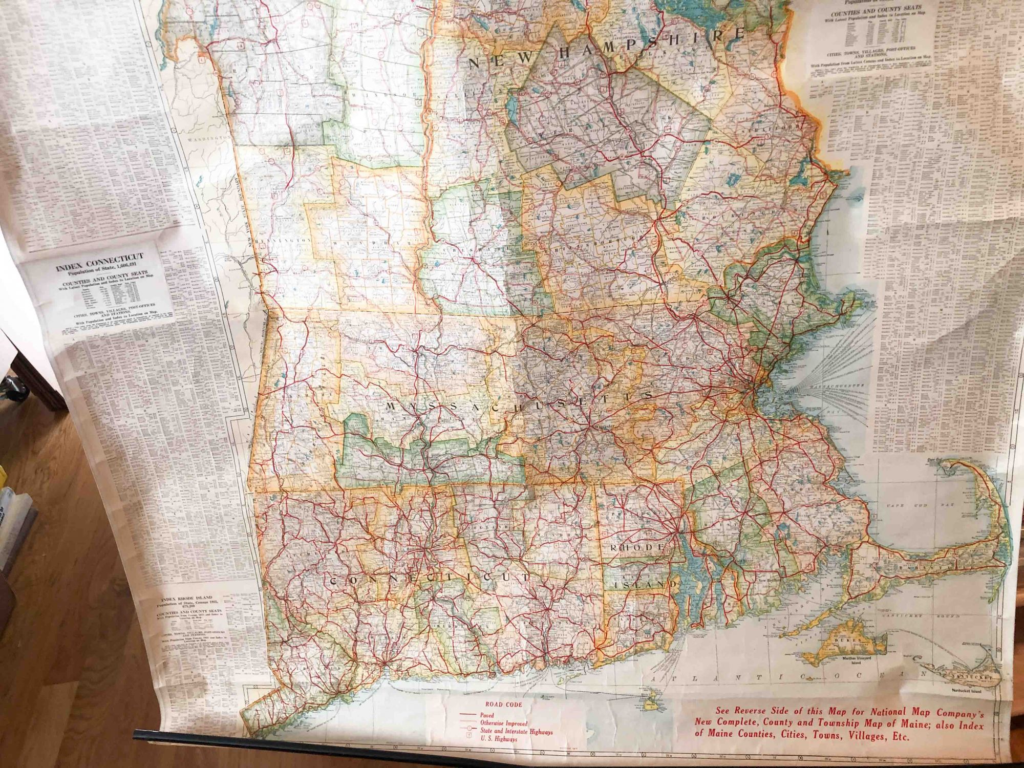
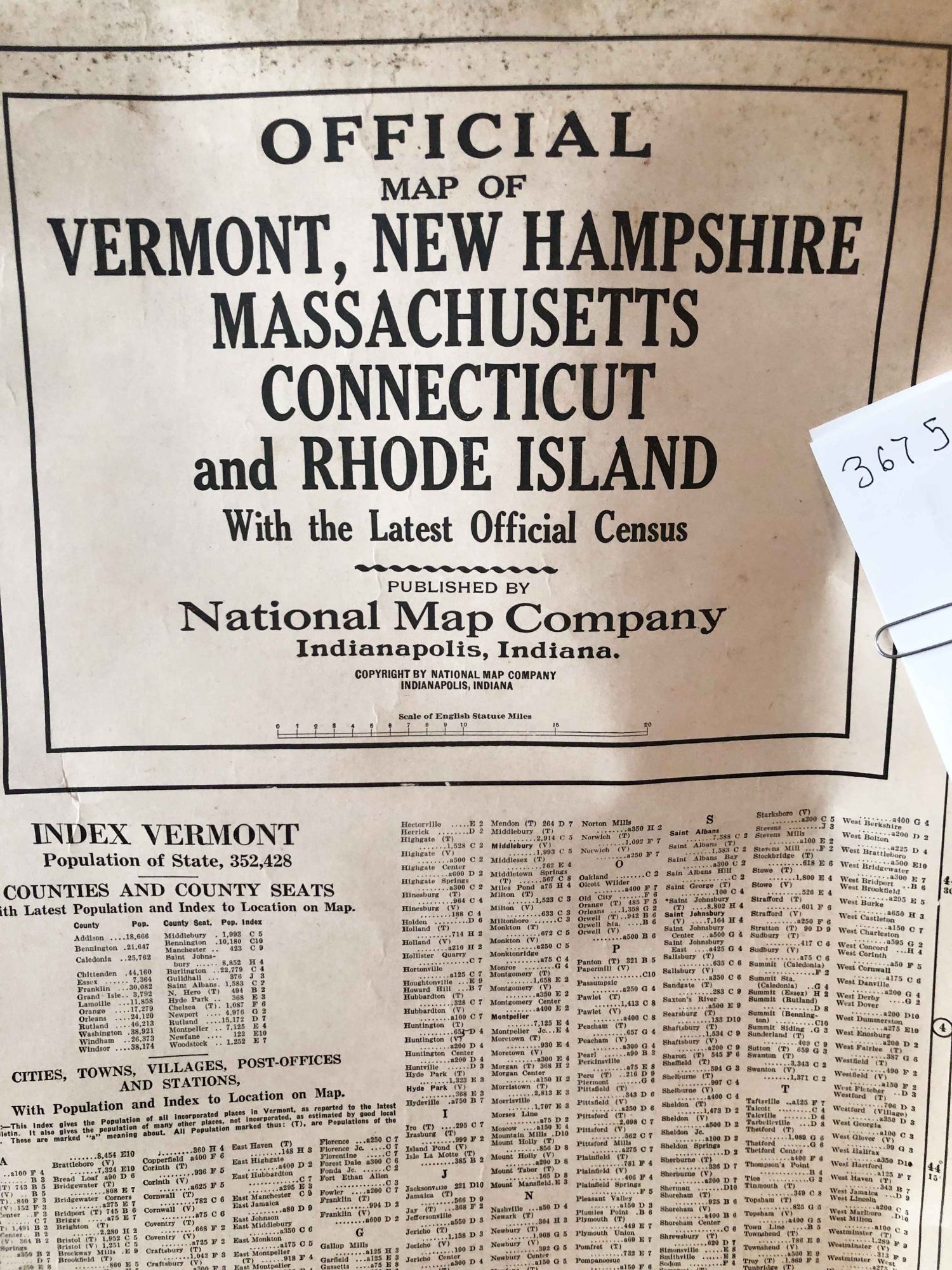
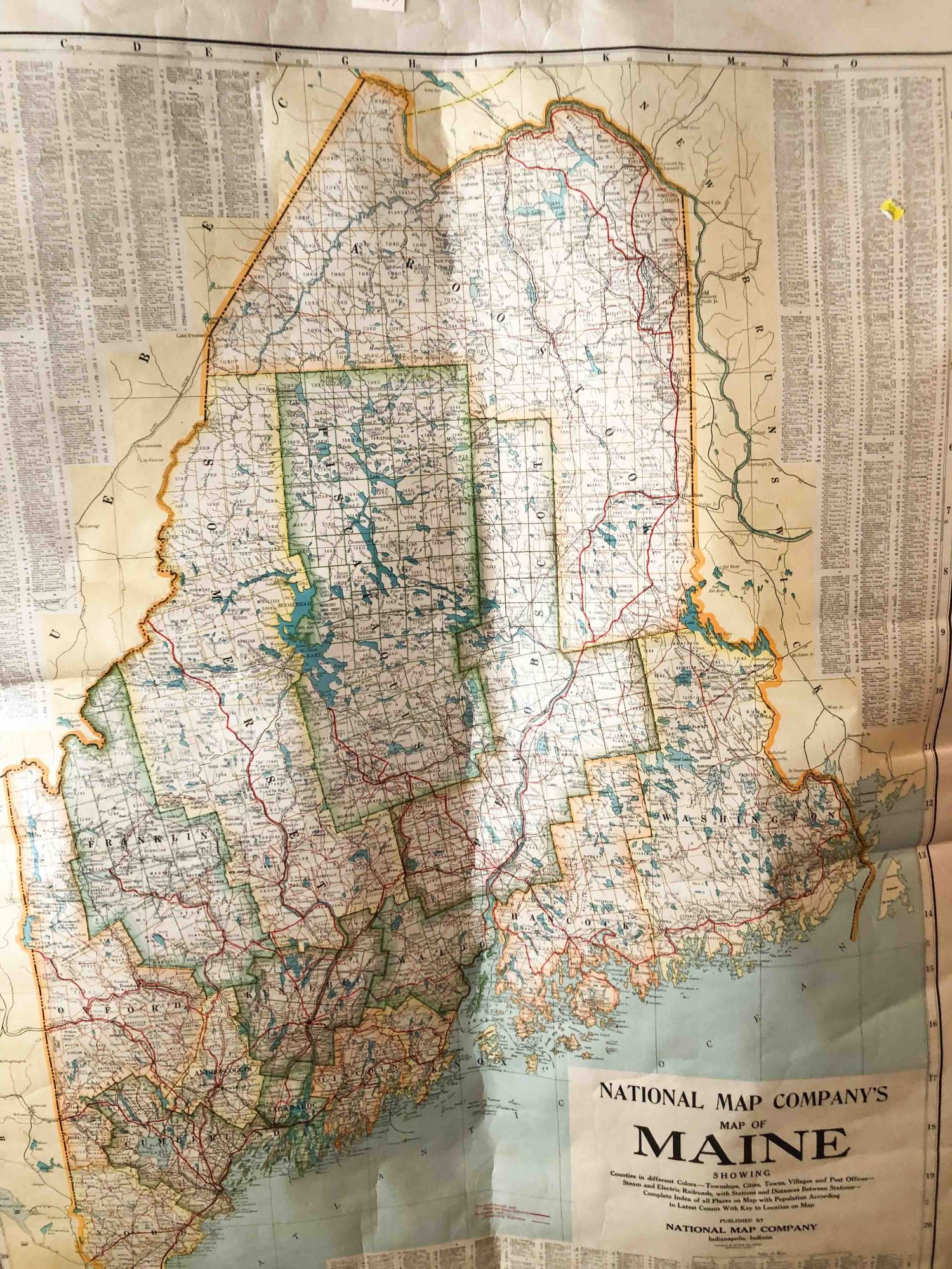
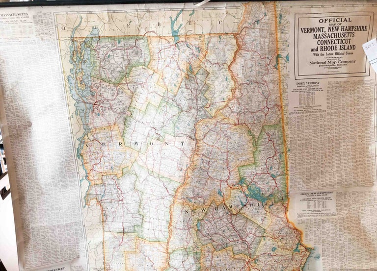
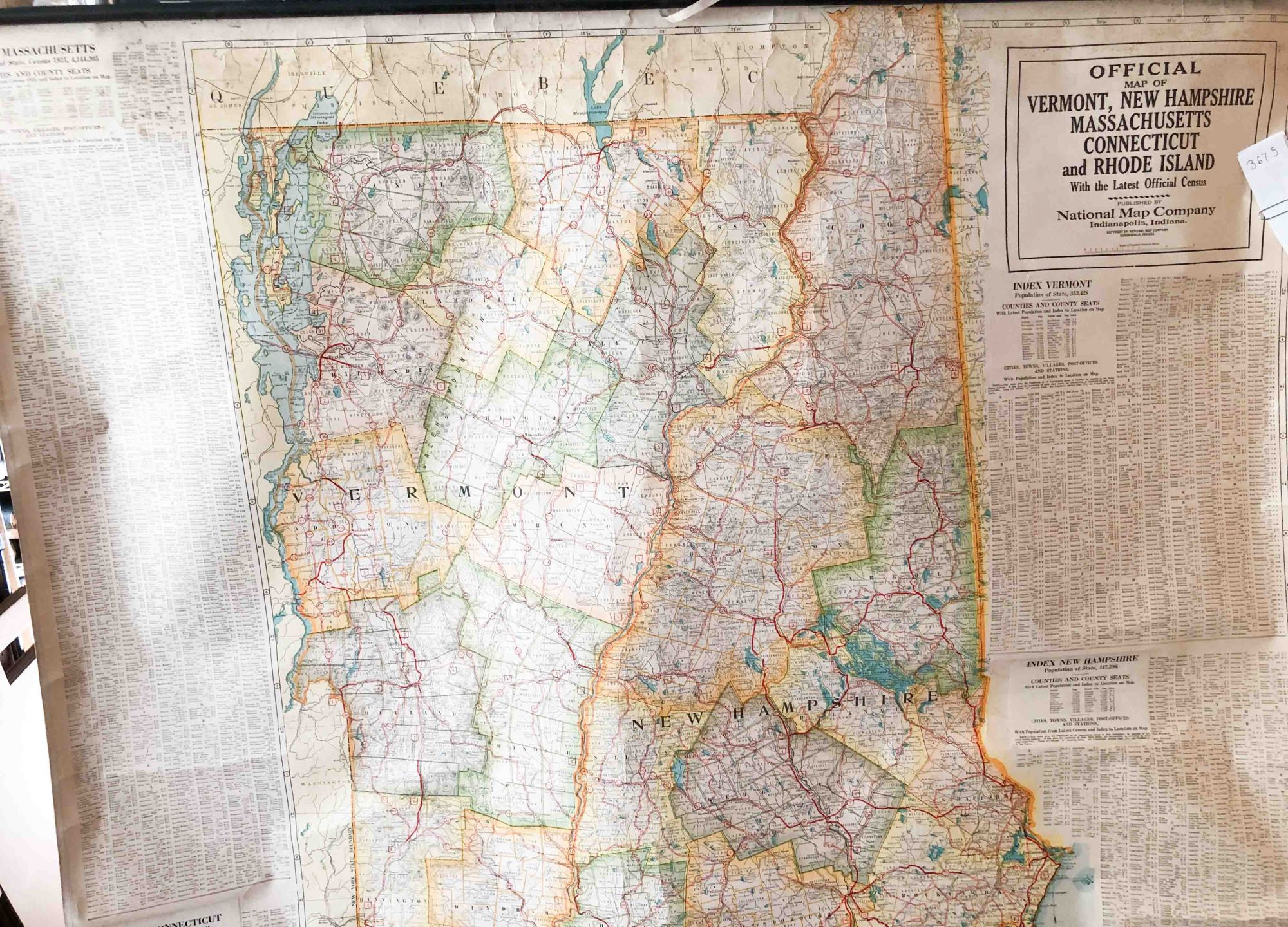
Official Map of Vermant, New Hampshire, Massachusetts, Connecticut and Rhode Island and Maine Wall Map
Indianapolis: National Map Company, 1926. Early. unbound. large heavy paper rolled map , ca. 42" x 54 ", rolled to ca. 5" x 56" wall map intended for any use desired from teaching to route planning etc. Has Maine on one side and all the other New England states on the other side. Stated that it is updated with the latest local census data and stated that this was 1925 for a few states. Publication date not noted, but, ca. 1926. This copy, generally, in very good condition with bright colors, no significant tears or major damage. Some dirt that may come off easily toward top and bottom some brown areas. Metal rods at top and bottom for hanging - bottom one is bent, but quite functional, cloth strip for hanging the map still present and usable . Will be mailed rolled in a tube or long square box. Note: shipping outside the USA cost more than that of an average book. Very good. Item #3675
Price: $191.00