
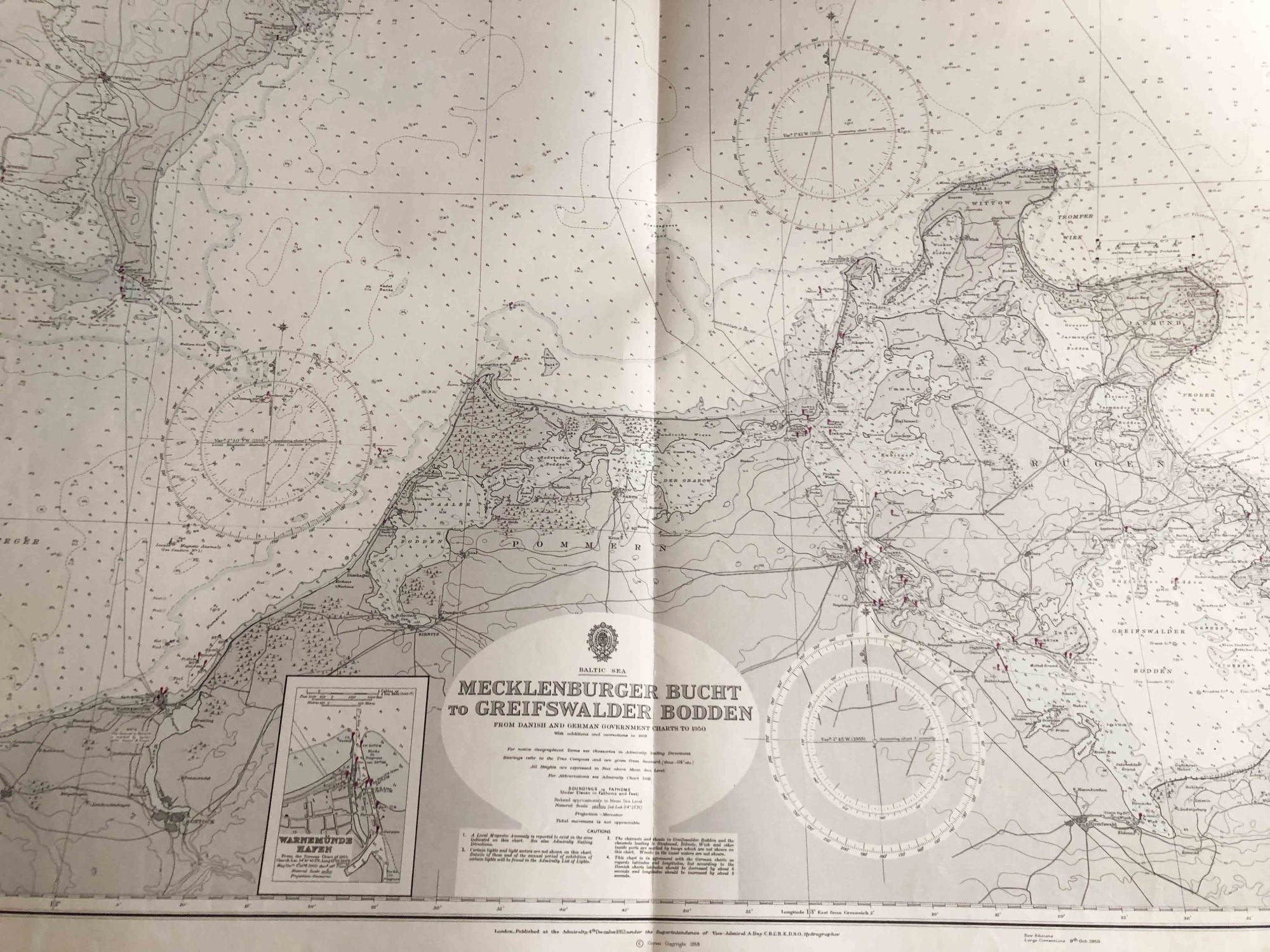
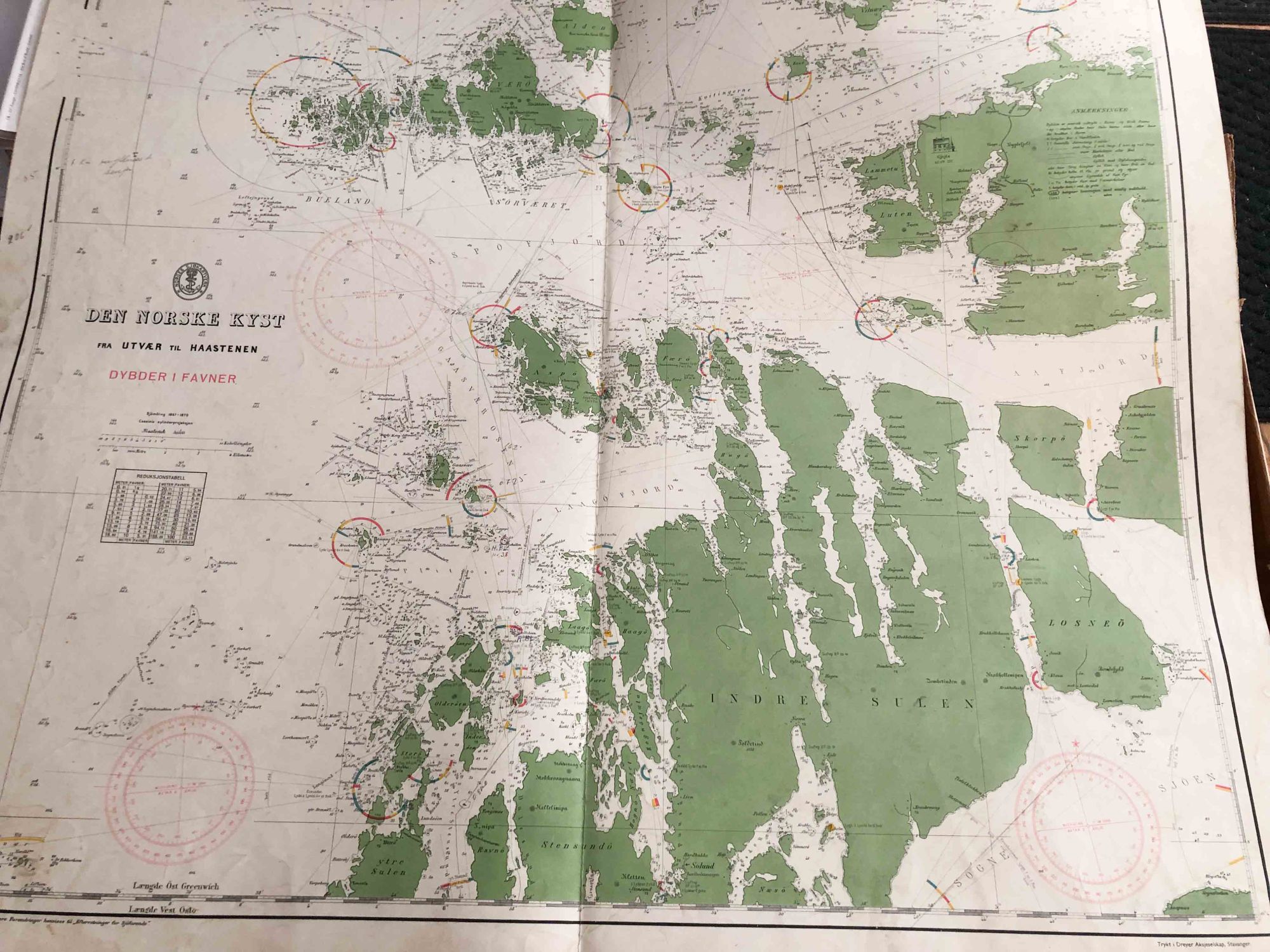
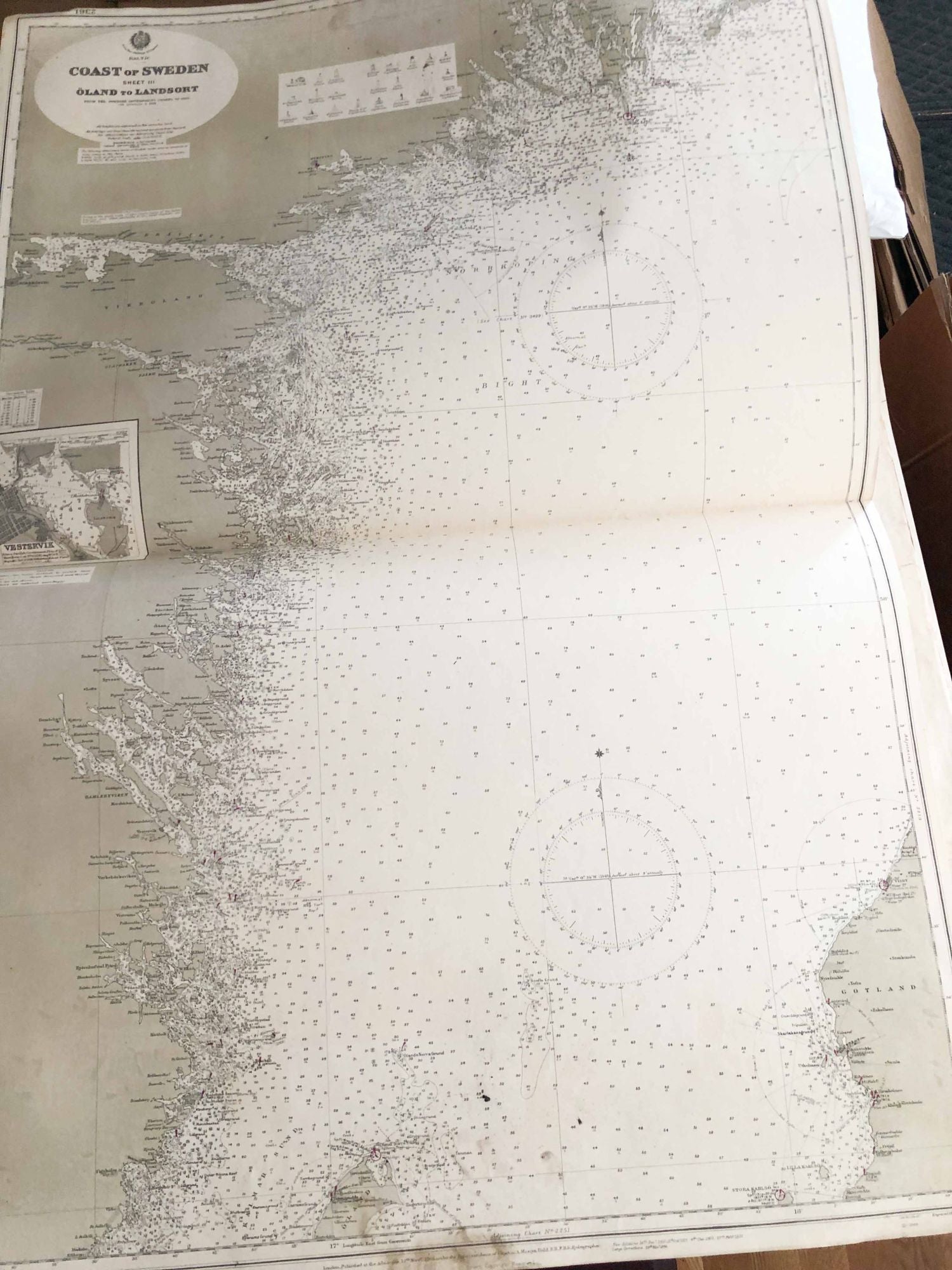
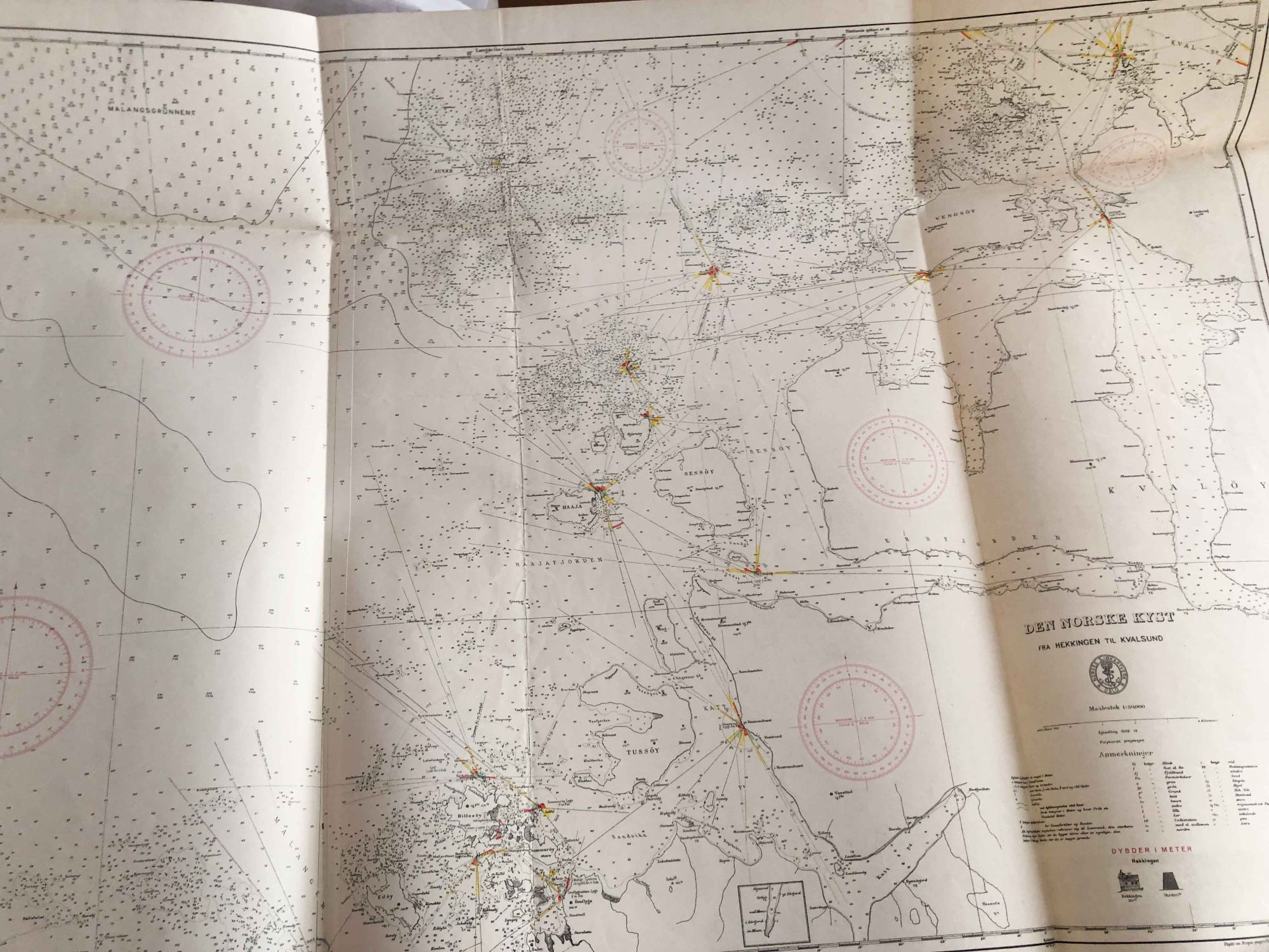
Nautical Charts of Seas Around Norway, Sweden, Finland, Denmark, Germany and Feroe Islands
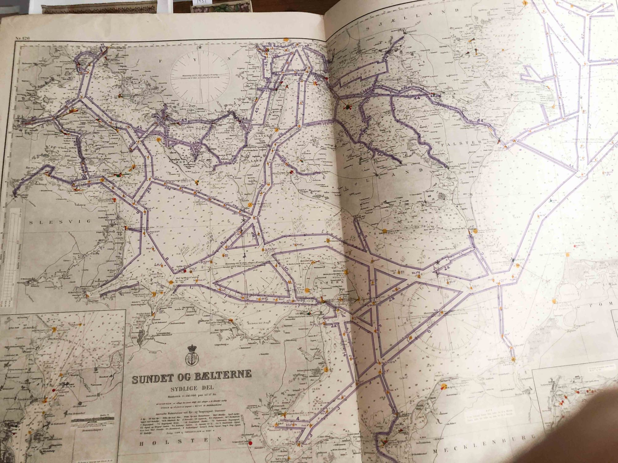
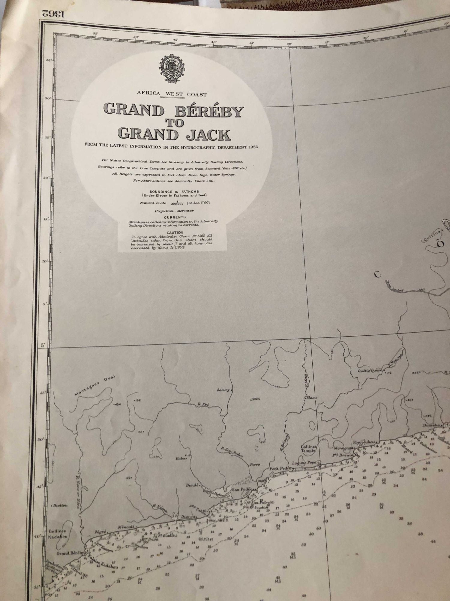
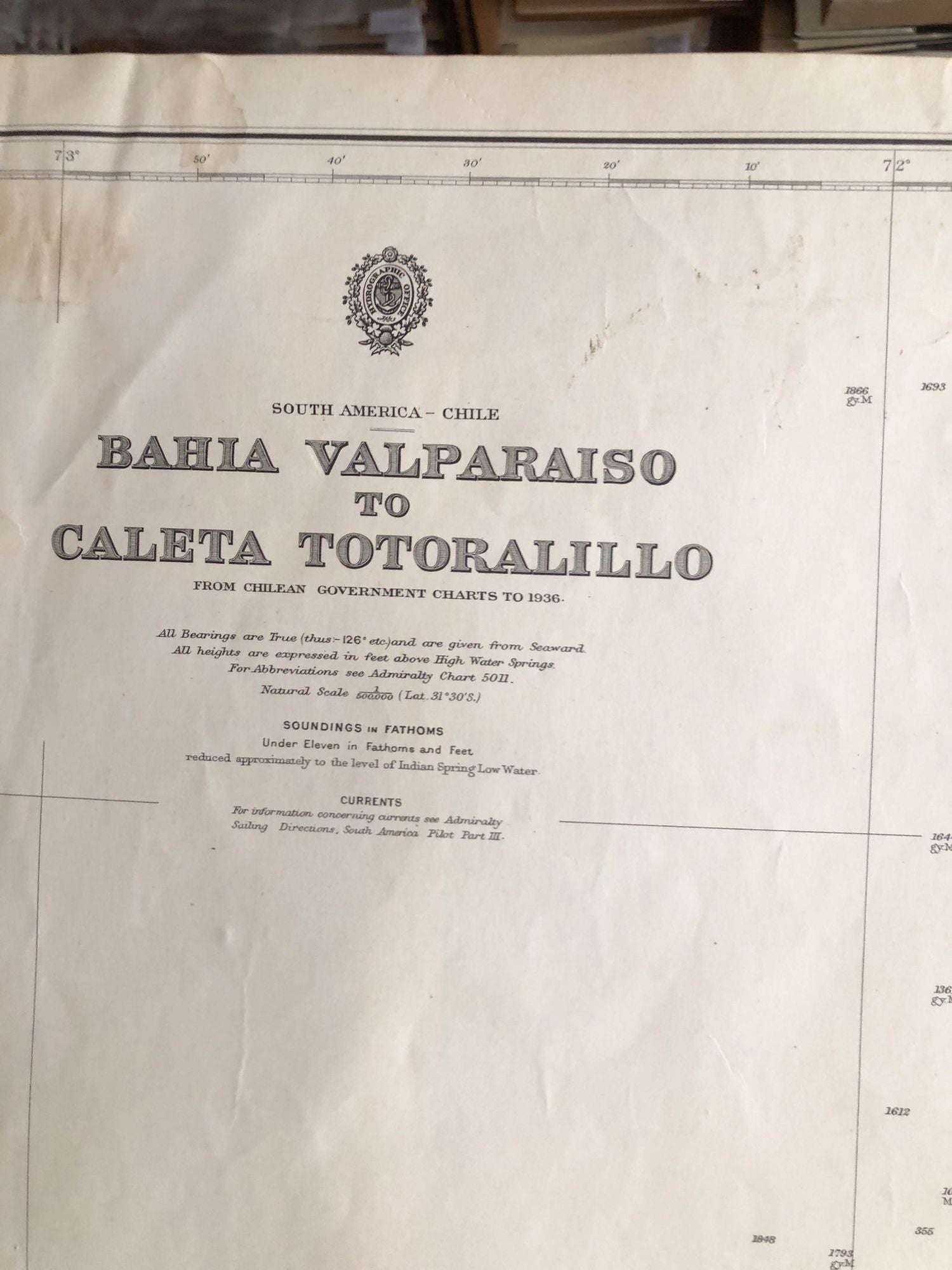
London: Admiralty, 1960. later printings. unbound. 39 heavy paper Nautical, Charts Open size ca. 29" x 40" and larger- much variation in size - paper is moderately age darkened and soiled. Folded sizes ca. 20" x 29". Dates vary but most state updates around 1960 . These have been folded flat a long time. Soiling varies widely from light to moderately heavy- often back side as well as front. Condition varies from fair to good- very good for some. These may be shipped in a tube or rolled into a square box. Shipping flat in a box is possible, but the weight and size will make handling difficult. Note: due to size and weight, shipping will cost more than that of an average book- especially for outside the USA. Images show some examples. Good. Item #3770
Price: $149.00