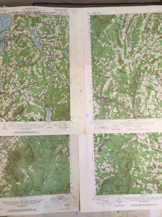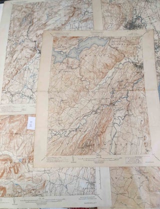
Topographic Maps New York and New Jersey Ulster and Rockland counties and part of New Jersey west of Hudson River 6 maps
Washington DC: United States Geological Survey, 1903. Early edition. unbound. 5 topographic maps some with folds, and may be some tears along folds, each ca. 16" x 20". Most of map areas good to very good but paper edges poor to fair. One map was nearly torn in 2 along..... More